Harrisburg in Dauphin County, Pennsylvania — The American Northeast (Mid-Atlantic)
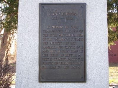
Camp Curtin
1861 — 1865
Topics. This memorial is listed in these topic lists: Military • War, US Civil. A significant historical date for this entry is April 18, 1861.
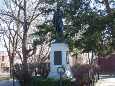
Location. 40° 16.945′ N, 76° 53.456′ W. Marker is in Harrisburg, Pennsylvania, in Dauphin County. Memorial is at the intersection of North Sixth Street and Woodbine Streets, on the right when traveling north on North Sixth Street. Touch for map. Marker is in this post office area: Harrisburg PA 17110, United States of America. Touch for directions.
Other nearby markers. At least 8 other markers are within walking distance of this marker. A different marker also named Camp Curtin (a few steps from this marker); Camp Curtin Memorial-Mitchell United Methodist Church (within shouting distance of this marker); a different marker also named Camp Curtin (about 700 feet away, measured in a direct line); Cottage Ridge (approx. 0.4 miles away); Camp Curtin Fire Company No. 13 (approx. 0.4 miles away); Pennsylvania Farm Show (approx. 0.4 miles away); Reily Hose Company No. 10 (approx. 0.4 miles away); Simon Cameron School (approx. half a mile away). Touch for a list and map of all markers in Harrisburg.
Related markers. Click here for a list of markers that are related to this marker. Related Camp Curtin markers.
September 28, 2016
2. East side of statue
Camp Curtin
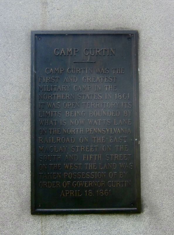
Camp Curtin was the first and greatest military camp in the northern states in 1861. It was open territory, its limits being bounded by what is now Watts Lane on the north, Pennsylvania Railroad on the east, Maclay Street on the south and Fifth Street on the west. The land was taken possession of by order of Governor Curtin April 18, 1861.
Camp Curtin was the first and greatest military camp in the northern states in 1861. It was open territory, its limits being bounded by what is now Watts Lane on the north, Pennsylvania Railroad on the east, Maclay Street on the south and Fifth Street on the west. The land was taken possession of by order of Governor Curtin April 18, 1861.
Credits. This page was last revised on July 14, 2022. It was originally submitted on March 22, 2008, by Bill Pfingsten of Bel Air, Maryland. This page has been viewed 1,925 times since then and 41 times this year. Last updated on July 14, 2022, by Carl Gordon Moore Jr. of North East, Maryland. Photos: 1. submitted on March 22, 2008, by Bill Pfingsten of Bel Air, Maryland. 2, 3. submitted on January 10, 2022. 4, 5. submitted on March 22, 2008, by Bill Pfingsten of Bel Air, Maryland. • Devry Becker Jones was the editor who published this page.
