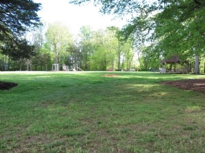
Lake of the Woods in Orange County, Virginia — The American South (Mid-Atlantic)
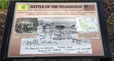
Battle of the Wilderness
On Spotswood's Farm were 4 Medical Wagons, 14 Six-Mule Wagons, 24 Tents, 3 Medical Officers and 34 Attendants, in addition to about 15 Ambulances and 80 Men from the Corp's Ambulance Company.
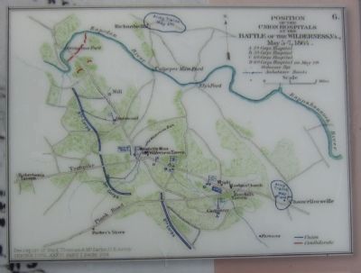
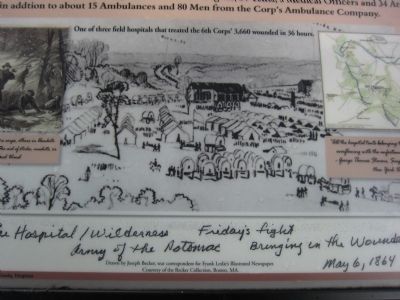
One of three field hospitals that treated the 6th Corps' 3,660 wounded in 36 hours.
Erected by Civil War Study Group and Lake of the Woods, Virginia.
Topics. This historical marker is listed in this topic list: War, US Civil.
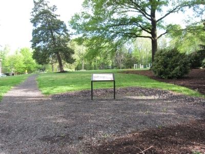
Location. 38° 20.579′ N, 77° 44.818′ W. Marker is in Lake of the Woods, Virginia, in Orange County. Marker is on Lakeview Parkway, on the right when traveling north. Marker is located at a park in Lake of the Woods Community, a gated community. Visitors must register to visit the marker. . Touch for map. Marker is in this post office area: Locust Grove VA 22508, United States of America. Touch for directions.
Other nearby markers. At least 8 other markers are within 2 miles of this marker, measured as the crow flies. Captain John Spotswood (within shouting distance of this marker); Orange Grove 1865 - 1967 (within shouting distance of this marker); Orange Grove 1728 - 1864 (within shouting distance of this marker); Spotswood Family Cemetery (about 600 feet away, measured in a direct line); a different marker also named Battle of the Wilderness (approx. half a mile away); Gordon's Flank Attack (approx. 1.2 miles away); The Federals Fall Back (approx. 1˝ miles away); a different marker also named Gordon's Flank Attack (approx. 1˝ miles away). Touch for a list and map of all markers in Lake of the Woods.
Photographed By Craig Swain, May 1, 2013
4. The Hospital / Wilderness - Friday's fight
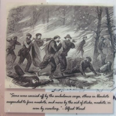
Hospital / Wilderness Friday's Fight - Army of the Potomac - Bringing in the Wounded - May 6, 1864 Drawn by Joseph Becker, war correspondent for Frank Leslie's Illustrated Newspaper, Courtesy of the Becker Collection, Boston, MA.
Photographed By Mike Wintermantel, March 23, 2013
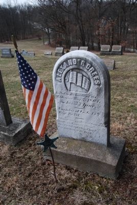
7. Alexander Crees
Tombstone of Alexander Crees, one of many soldiers who were killed in the Battle of the Wilderness.
May 5, 1864
In His 23 Year
A Member of Co. G. 139 Regt. PA. Vol.
"Through ? nights and dangers, amidst our countries gloom. This soldier of a loyal band, was marching to his tomb."
Grave is located at Little Hill UM Church, Magee Road Extension, Sewickley, Pa 15143
May 5, 1864
In His 23 Year
A Member of Co. G. 139 Regt. PA. Vol.
"Through ? nights and dangers, amidst our countries gloom. This soldier of a loyal band, was marching to his tomb."
Grave is located at Little Hill UM Church, Magee Road Extension, Sewickley, Pa 15143
Credits. This page was last revised on June 16, 2016. It was originally submitted on May 2, 2013, by Craig Swain of Leesburg, Virginia. This page has been viewed 978 times since then and 38 times this year. Photos: 1, 2, 3, 4, 5, 6. submitted on May 2, 2013, by Craig Swain of Leesburg, Virginia. 7. submitted on May 2, 2013, by Mike Wintermantel of Pittsburgh, Pennsylvania.
