Near Redwood in Warren County, Mississippi — The American South (East South Central)
Snyder's Bluff
Steele's Bayou Expedition
— Vicksburg Campaign —
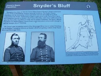
The Union's plan for gaining control of the Mississippi River was to isolate Vicksburg by out flanking Confederate batteries at Snyder's Bluff and gaining control of the Yazoo River and Mississippi Delta.
Captions:
Left: Major General Ulysses S. Grant
Right: Rear Admiral David D. Porter
Map: The powerful batteries erected at this site, overlooking the Yazoo River, anchored the Confederate fortifications north of Vicksburg. They also prevented Union naval excursions upriver and served to protect the Confederate Navy Yard at Yazoo City.
Topics and series. This memorial is listed in this topic list: War, US Civil. In addition, it is included in the Former U.S. Presidents: #18 Ulysses S. Grant series list.
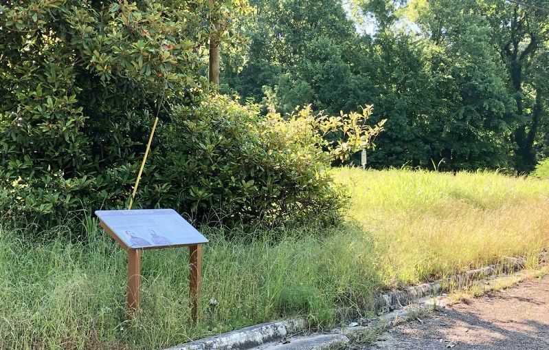
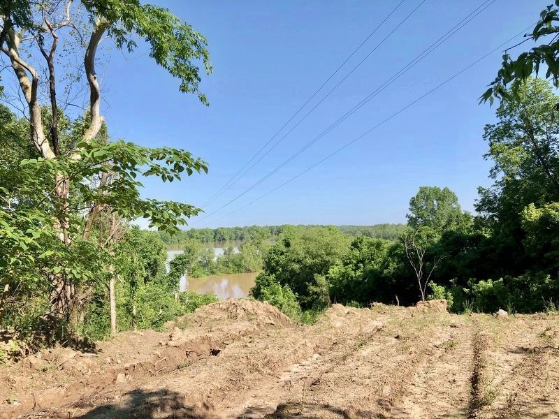
Location. 32° 29.765′ N, 90° 48′ W. Marker is near Redwood, Mississippi, in Warren County. Memorial can be reached from State Highway MS 3, one mile north of U.S. 61. Located on a remnant of an approach to a bridge that was removed from the Yazoo River, probably the US-61 crossing. Touch for map. Marker is in this post office area: Redwood MS 39156, United States of America. Touch for directions.
Other nearby markers. At least 8 other markers are within 8 miles of this marker, measured as the crow flies. Fort Snyder (about 500 feet away, measured in a direct line); Fort St. Peter (about 500 feet away); French Fort St. Pierre (about 600 feet away); Haynes Bluff Mound (approx. 2.3 miles away); Steele's Bayou Expedition (approx. 6 miles away); Vick Graves (approx. 6˝ miles away); Chickasaw Bayou Battle (approx. 6.9 miles away); Kings School (approx. 7.9 miles away). Touch for a list and map of all markers in Redwood.
More about this marker. Unfortunately, it appears the highway department is using this location to dispose of road kill.
As of May 2019, area is cleaned up to a point. Trash cans are available and a new marker has been added along MS-3 highway.
Additional commentary.
1. Reference to this action
Here is a quote from a book showing the importance of this location. The present town of Haines's Bluff is just a short distance from this marker.
After the first attack upon Vicksburg, in June, 1862, the Rebels strengthened the approaches in the rear of the city. They threw up defensive works on the line of bluffs facing the Yazoo, and erected a strong fortification to prevent our boats ascending that stream. Just before General Sherman commenced his assault, the gun-boat Benton, aided by another iron-clad, attempted to silence the batteries at Haines's Bluff, but was unsuccessful. Her sides were perforated by the Rebel projectiles, and she withdrew from the attack in a disabled condition. Captain Gwin, her commander, was mortally wounded early in the fight.
Source: Knox, Thomas Wallace (2012-05-17). Camp-Fire and Cotton-Field Southern Adventure in Time of War. Life with the Union Armies, and Residence on a Louisiana Plantation (Kindle Locations 2760-2762). . Kindle Edition.
— Submitted May 12, 2013, by Dale Johnson of Hudson, Wisconsin.
Credits. This page was last revised on August 24, 2023. It was originally submitted on May 3, 2013, by Dale Johnson of Hudson, Wisconsin. This page has been viewed 1,283 times since then and 95 times this year. Photos: 1. submitted on May 3, 2013, by Dale Johnson of Hudson, Wisconsin. 2, 3. submitted on May 15, 2019, by Mark Hilton of Montgomery, Alabama. • Craig Swain was the editor who published this page.


