Rock Creek Park in Northwest Washington in Washington, District of Columbia — The American Northeast (Mid-Atlantic)
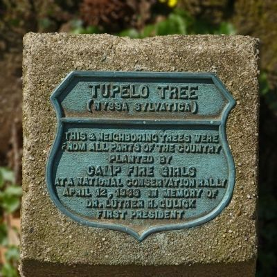
Tupelo Tree
(Nyssa Sylvatica)
From all parts of the country
Planted by
Camp Fire Girls
At a National Conservation Rally
April 12, 1936 in memory of
Dr. Luther H. Gulick
First President
Erected 1936 by Camp Fire Girls.
Topics. This historical marker is listed in these topic lists: Fraternal or Sororal Organizations • Horticulture & Forestry • Women. A significant historical month for this entry is April 1903.
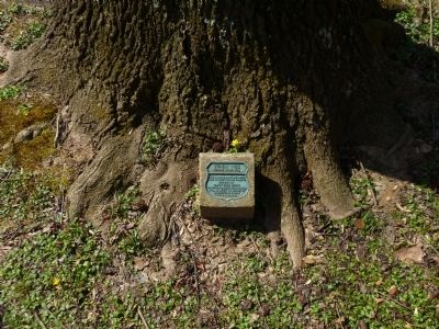
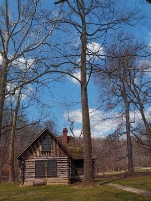
Location. 38° 57.841′ N, 77° 2.78′ W. Marker is in Northwest Washington in Washington, District of Columbia. It is in Rock Creek Park. Marker can be reached from the intersection of Beach Drive Northwest and Bingham Drive Northwest, on the right when traveling south. The marker is at the base of a tree just south of the Joaquin Miller Cabin along Beach Drive in Rock Creek Park. Touch for map. Marker is in this post office area: Washington DC 20012, United States of America. Touch for directions.
Other nearby markers. At least 8 other markers are within walking distance of this marker. Herring Highway (about 600 feet away, measured in a direct line); Fort DeRussy (approx. ¼ mile away); a different marker also named Fort DeRussy (approx. ¼ mile away); Fort De Russy (approx. 0.4 miles away); A Garden Protecting Rock Creek (approx. 0.4 miles away); a different marker also named Herring Highway (approx. 0.6 miles away); An African American Enclave (approx. 0.7 miles away); Early Entrepreneurs (approx. 0.7 miles away). Touch for a list and map of all markers in Northwest Washington.
Photographed By Allen C. Browne, March 30, 2013
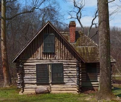
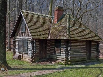
5. Joaquin Miller Cabin
"The L-shaped cabin was built in 1883 at a site near the intersection of 16th and Belmont Streets, NW across from what is now Meridian Hill Park ... In 1911-1912 the cabin was disassembled and moved to its present site and dedicated on June 2, 1912." -- NPS Classified Structures Report.
Credits. This page was last revised on January 30, 2023. It was originally submitted on May 3, 2013, by Allen C. Browne of Silver Spring, Maryland. This page has been viewed 705 times since then and 8 times this year. Photos: 1, 2, 3, 4, 5. submitted on May 3, 2013, by Allen C. Browne of Silver Spring, Maryland. • Bill Pfingsten was the editor who published this page.
