Medicine Lodge in Barber County, Kansas — The American Midwest (Upper Plains)
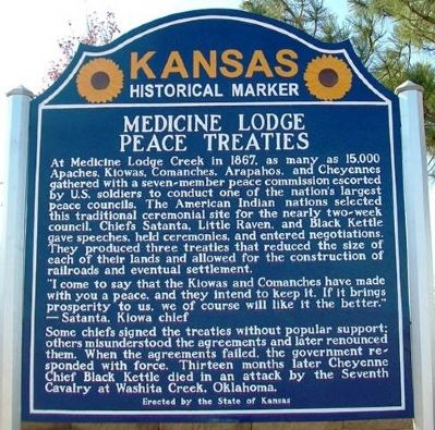
Medicine Lodge Peace Treaties
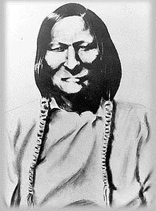
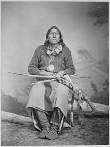
At Medicine Lodge Creek in 1867, as many as 15,000 Apaches, Kiowas, Comanches, Arapahos, and Cheyennes gathered with a seven-member peace commission escorted by U.S. soldiers to conduct one of the nation’s largest peace councils. The American Indian nations selected this traditional ceremonial site for the nearly two-week council. Chiefs Satanta, Little Raven, and Black Kettle gave speeches, held ceremonies, and entered negotiations. They produced three treaties that reduced the size of each of their lands and allowed for the construction of railroads and eventual settlement.
"I come to say that the Kiowas and Comanches have made with you a peace, and they intend to keep it. If it brings prosperity to us, we of course will like it the better."
—Satanta, Kiowa chief
Some chiefs signed the treaties without popular support; others misunderstood the agreements and later renounced them. When the agreements failed, the government responded with force. Thirteen months later Cheyenne Chief Black Kettle died in an attack by the Seventh Cavalry at Washita Creek, Oklahoma.
Erected 2012 by the State of Kansas. (Marker Number 69.)
Topics and series. This historical marker is listed in these topic lists: Native Americans • Peace • Settlements & Settlers • Wars, US Indian. In addition, it is included in the Kansas Historical Society series list. A significant historical year for this entry is 1867.
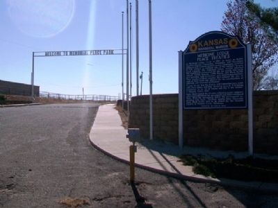
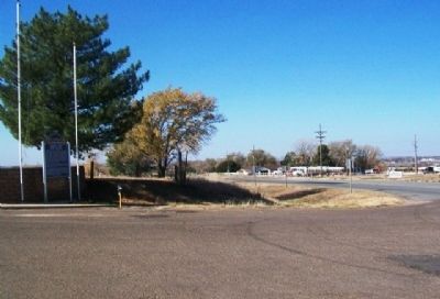
Location. 37° 16.53′ N, 98° 32.955′ W. Marker is in Medicine Lodge, Kansas, in Barber County. Marker is at the intersection of U.S. 160 and the entrance to Memorial Peace Park, on the right when traveling east on U.S. 160. The park is about 1.5 miles east of town. Touch for map. Marker is in this post office area: Medicine Lodge KS 67104, United States of America. Touch for directions.
Other nearby markers. At least 8 other markers are within 11 miles of this marker, measured as the crow flies. Medicine Lodge Stockade (approx. 1.6 miles away); Barber County Veterans Memorial (approx. 1.6 miles away); The Grand Hotel (approx. 1.7 miles away); The First National Bank (approx. 1.7 miles away); Peace Treaty Memorial (approx. 1.7 miles away); Carry Nation Home (approx. 1.8 miles away); Veterans Memorial (approx. 2.4 miles away); Gypsum Hills Scenic Byway (approx. 11 miles away). Touch for a list and map of all markers in Medicine Lodge.
Regarding Medicine Lodge Peace Treaties. This marker replaced an earlier state historical marker.
Also see . . .
1. Medicine Lodge Peace Treaty. (Submitted on May 8, 2013, by William Fischer, Jr. of Scranton, Pennsylvania.)
2. Treaty With the Kiowa, Comanche, and Apache; October 21, 1867. (Submitted on May 8, 2013, by William Fischer, Jr. of Scranton, Pennsylvania.)
3. Santanta, Kiowa Chief. (Submitted on May 8, 2013, by William Fischer, Jr. of Scranton, Pennsylvania.)
4. Little Raven, Arapaho Chief. Wikipedia entry (Submitted on May 8, 2013, by William Fischer, Jr. of Scranton, Pennsylvania.)
5. Black Kettle. Wikipedia entry (Submitted on May 8, 2013, by William Fischer, Jr. of Scranton, Pennsylvania.)
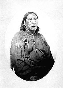
6. Satanta (Kiowa leader). Wikipedia entry. (Submitted on December 14, 2020, by Larry Gertner of New York, New York.)
Credits. This page was last revised on December 14, 2020. It was originally submitted on May 8, 2013, by William Fischer, Jr. of Scranton, Pennsylvania. This page has been viewed 861 times since then and 107 times this year. Photos: 1, 2, 3. submitted on May 8, 2013, by William Fischer, Jr. of Scranton, Pennsylvania. 4, 5, 6. submitted on December 14, 2020, by Larry Gertner of New York, New York.
