Tiberias, Northern District, Israel — West Asia (the Levant in the Middle East)
The Crusader-Ottoman Building / Millstones
Inscription.
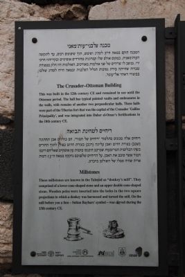
[Text at the top of the marker]: The Crusader-Ottoman Building
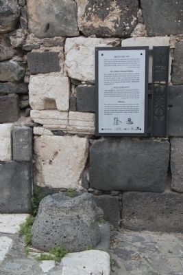
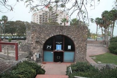
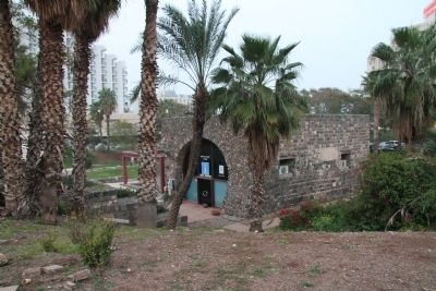
This was built in the 12th century CE and remained in use until the Ottoman period. The hall has typical pointed vaults and embrasures in the walls, with remains of another two perpendicular halls. These halls were part of the Tiberias fort that was the capital of the Crusader 'Galilee Principality', and was integrated into Daher el-Omar's fortifications in the 18th century CE.
[Text at the bottom of the marker]: Millstones
These millstones are known in the Talmud as "donkey's mill". They comprised of a lower cone-shaped stone and an upper double cone-shaped stone. Wooden poles were inserted into the holes in the two square projections to which a donkey was harnessed and turned the mill. On the mill before you a lion - Sultan Baybars' symbol - was carved during the 13th century CE.
Erected by Israel Antiquities Authority, Isrwel Government Tourist Corporation, Israel Ministary of Tourism, and The municipality of Tiberias, Tourism Department.
Topics and series. This historical marker is listed in these topic lists: Agriculture • Anthropology & Archaeology • Forts and Castles • Settlements & Settlers. In addition, it is included in the The Tiberias Archeological Park series list.
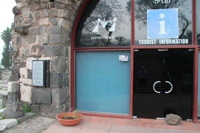
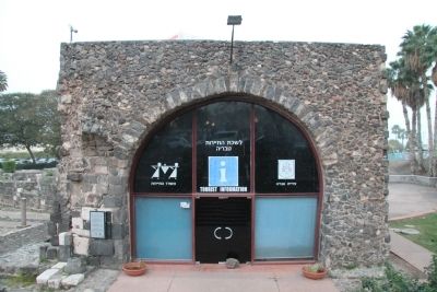
Location. 32° 47.123′ N, 35° 32.512′ E. Marker is in Tiberias, Northern District. Marker can be reached from HaBanim (National Route 90) just north of HaGalil, on the right when traveling north. This historical marker is located on the south side of the downtown Tiberias business district, affixed to the front wall of an ancient building, that is inside a small archaeological park situated directly in front (to the west) of the Leonardo Plaza Hotel. Touch for map. Touch for directions.
Other nearby markers. At least 8 other markers are within walking distance of this marker. "Magic on the sea of galilee..." (a few steps from this marker); Doors of Burial Caves / Burial Customs - Sarcophagi (within shouting distance of this marker); The Synagogue (within shouting distance of this marker); The Architecture of Tiberias (within shouting distance of this marker); Domestic Building (within shouting distance of this marker); The Southern Wall (within shouting distance of this marker); Remains of the Watch Tower (approx. 0.3 kilometers away); Liberation of Tiberias Memorial (approx. 0.4 kilometers away). Touch for a list and map of all markers in Tiberias.
Also see . . .
Tiberias. This is a link to information provided by Wikipedia, the free encyclopedia. (Submitted on May 16, 2013, by Dale K. Benington of Toledo, Ohio.)
Credits. This page was last revised on June 16, 2016. It was originally submitted on May 14, 2013, by Dale K. Benington of Toledo, Ohio. This page has been viewed 535 times since then. Photos: 1, 2, 3, 4, 5, 6. submitted on May 15, 2013, by Dale K. Benington of Toledo, Ohio.
