Guilderland in Albany County, New York — The American Northeast (Mid-Atlantic)
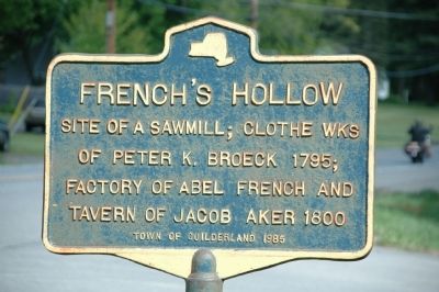
French's Hollow
of Peter K. Broeck 1795;
Factory of Abel French and
Tavern of Jacob Aker 1800
Erected 1985 by Town of Guilderland.
Topics. This historical marker is listed in this topic list: Industry & Commerce. A significant historical year for this entry is 1795.
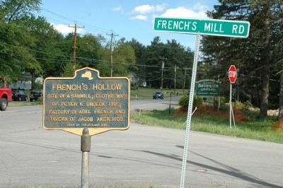
Location. 42° 43.229′ N, 73° 56.758′ W. Marker is in Guilderland, New York, in Albany County. Marker is at the intersection of Western Ave (U.S. 20) and French's Mill Road, on the right when traveling east on Western Ave. Touch for map. Marker is in this post office area: Guilderland NY 12084, United States of America. Touch for directions.
Other nearby markers. At least 8 other markers are within 2 miles of this marker, measured as the crow flies. Guilderland Town Hall (approx. half a mile away); Abraham Wemple (approx. 1.1 miles away); Battle of Normanskill (approx. 1.2 miles away); Palatine Road (approx. 1.3 miles away); The Vale of Tawasentha (approx. 1.3 miles away); Farm of Evert Bancker (approx. 1.4 miles away); Freeman House (approx. 1˝ miles away); House Built 1802 (approx. 1.6 miles away). Touch for a list and map of all markers in Guilderland.
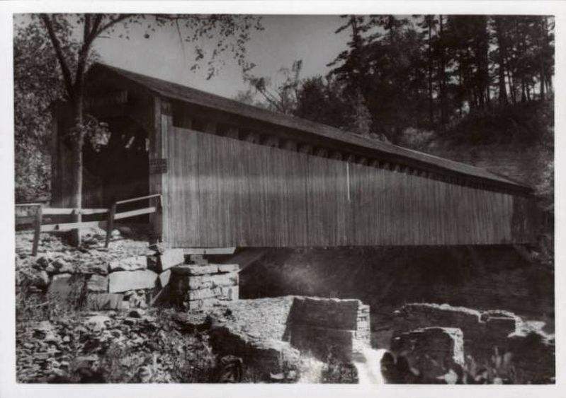
Regarding French's Hollow. French's Hollow was one of the oldest settlements in the Town of Guilderland and the site of Guilderland's earliest industries. Water power to operate the mills there came from the falls of the Normanskill where a covered bridge crossed the waters. Industries that flourished included a knitting mill, a clothing factory, a button factory and a grist mill. The last visible signs of the aged settlement disappeared when a new dam and pumping station for the Watervliet Reservoir was built in 1915. The old building was dismantled in 1925 and a new bridge unit in 1933.

via Historic Highway Guides, unknown
2. Forgotten Landmark–Site of French’s Mill at French’s Hollow, Guilderland, New York
Historic Highway Guides website entry:
A covered bridge later spanned the Normanskill at this location, built in 1869 and demolished in 1933.
Click for more information.
A covered bridge later spanned the Normanskill at this location, built in 1869 and demolished in 1933.
Click for more information.
Credits. This page was last revised on January 29, 2022. It was originally submitted on May 18, 2013, by Howard C. Ohlhous of Duanesburg, New York. This page has been viewed 1,742 times since then and 120 times this year. Photos: 1. submitted on May 19, 2013, by Howard C. Ohlhous of Duanesburg, New York. 2. submitted on January 29, 2022, by Larry Gertner of New York, New York. 3. submitted on May 19, 2013, by Howard C. Ohlhous of Duanesburg, New York. • Bill Pfingsten was the editor who published this page.

