St. Augustine in St. Johns County, Florida — The American South (South Atlantic)
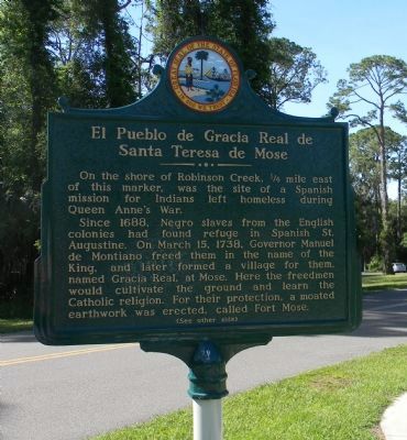
El Pueblo de Gracia Real de Santa Teresa de Mose
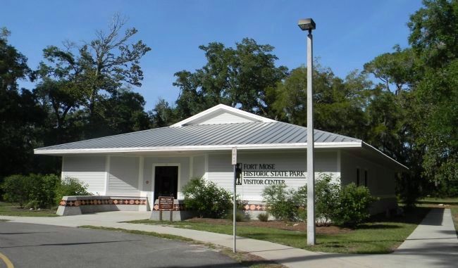
Fort Mose Historic State Park
Inscription.
On the shore of Robinson Creek, ¼ mile east of this marker, was the site of a Spanish mission for Indians left homeless during Queen Anne's War.
Since 1688, Negro slaves from the English colonies had found refuge in Spanish St. Augustine. On March 15, 1738, Governor Manuel de Montiano freed them in the name of the King, and later formed a village for them named Gracia Real, at Mose. Here the freedmen would cultivate the ground and learn the Catholic religion. For their protection, a moated earthwork was erected, called Fort Mose.
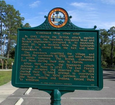
(Continued from the other side)
The freedmen resettled the village and rebuilt the earthwork in 1752, and later formed a militia company. The British dismantled Fort Mose during their rule in Florida.
After their return, the Spaniards rebuilt defenses at Mose in 1797. The East Florida Patriots occupied the deserted site in 1812 during their ill-fated attempt to overthrow Spanish rule. The local garrison, aided by the Negro militia and Indians, forced them to withdraw.
Erected 1965 by St. Johns County Historical Commission.
Topics and series. This memorial is listed in these topic lists: Abolition & Underground RR • African Americans • Colonial Era • Forts and Castles. In addition, it is included in the National Historic Landmarks series list. A significant historical month for this entry is March 1874.
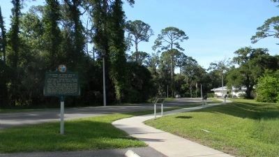
Location. 29° 55.734′ N, 81° 19.513′ W. Marker is in St. Augustine, Florida, in St. Johns County. Memorial is on Fort Mose Trail east of N. Ponce de Leon Blvd. (U.S. 1). Touch for map. Marker is at or near this postal address: 15 Fort Mose Trail, Saint Augustine FL 32084, United States of America. Touch for directions.
Other nearby markers. At least 8 other markers are within walking distance of this marker. Bloody Mose (here, next to this marker); Fort Mose II (a few steps from this marker); Fort Mose I (a few steps from this marker); Evacuation (a few steps from this marker); Escape & Flight (a few steps from this marker); British Enslavement (within shouting distance of this marker); Fort Mose Site (within shouting distance of this marker); Middle Passage (within shouting distance of this marker). Touch for a list and map of all markers in St. Augustine.
Also see . . . America's Black Colonial Fortress of Freedom.
(Submitted on May 29, 2013, by Richard E. Miller of Oxon Hill, Maryland.)
Additional keywords. maroons
Credits. This page was last revised on January 2, 2019. It was originally submitted on May 28, 2013, by Richard E. Miller of Oxon Hill, Maryland. This page has been viewed 1,086 times since then and 54 times this year. Last updated on December 1, 2018, by Cosmos Mariner of Cape Canaveral, Florida. Photos: 1, 2, 3, 4. submitted on May 29, 2013, by Richard E. Miller of Oxon Hill, Maryland. • Bernard Fisher was the editor who published this page.


