College Park in Prince George's County, Maryland — The American Northeast (Mid-Atlantic)
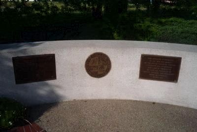
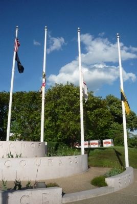
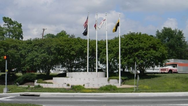
College Park War Memorial
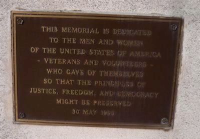
to the men and women
of the United States of America
- Veterans and Volunteers -
who gave of themselves
so that the principles of
Justice, Freedom, and Democracy
might be preserved
30 May 1993
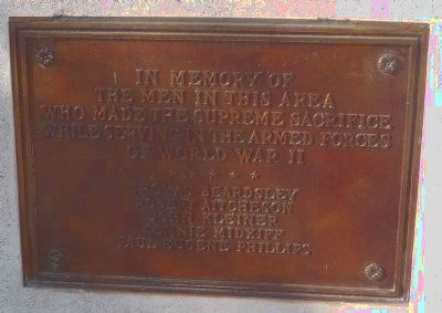
In memory of
the men in this area
who made the supreme sacrifice
while serving in the Armed Forces
of World War II
*****
Thomas Beardsley
Robert Aitcheson
John Kleiner
Connie Midkiff
Paul Eugene Phillips
Courage
Sacrifice
Service
Erected 1993 by City of College Park.
Topics. This memorial is listed in this topic list: War, World II.
Location. 38° 59.921′ N, 76° 55.866′ W. Marker is in College Park, Maryland, in Prince George's County. Memorial is at the intersection of Rhode Island Avenue (U.S. 1) and Greenbelt Road, on the right when traveling north on Rhode Island Avenue. Touch for map. Marker is at or near this postal address: 410 Greenbelt Road, College Park MD 20740, United States of America. Touch for directions.
Other nearby markers. At least 8 other markers are within walking distance of this marker. Lakeland (approx. 0.6 miles away); Town of Berwyn Heights (approx. 0.7 miles away); Site of Maryland's First State Tree Nursery, 1914-1950 (approx. 0.7 miles away); Paint Branch Bridge Mural: A Path Forward (approx. 0.7 miles away); Welcome to the Luther Goldman Birding Trail (approx. 0.7 miles away); Arrowhead (approx. ¾ mile away); a different marker also named Town of Berwyn Heights (approx. ¾ mile away); Founders’ Gateway (approx. ¾ mile away). Touch for a list and map of all markers in College Park.
Credits. This page was last revised on March 22, 2023. It was originally submitted on June 2, 2013, by Richard E. Miller of Oxon Hill, Maryland. This page has been viewed 595 times since then and 10 times this year. Photos: 1, 2, 3, 4, 5. submitted on June 2, 2013, by Richard E. Miller of Oxon Hill, Maryland. 6. submitted on June 5, 2013, by Richard E. Miller of Oxon Hill, Maryland. • Bill Pfingsten was the editor who published this page.
