Near Alleghany in Sierra County, California — The American West (Pacific Coastal)
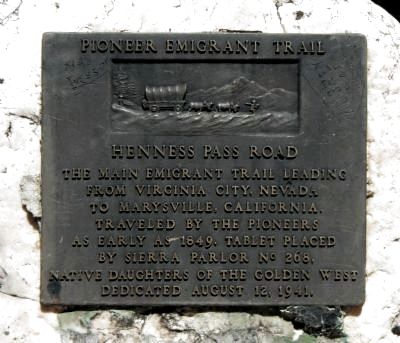
Henness Pass Road
Pioneer Emigrant Trail
Erected 1941 by Native Daughters of the Golden West, Sierra Parlor No. 268. (Marker Number 421.)
Topics and series. This historical marker is listed in this topic list: Roads & Vehicles. In addition, it is included in the California Historical Landmarks, the Henness Pass, and the Native Sons/Daughters of the Golden West series lists. A significant historical year for this entry is 1849.
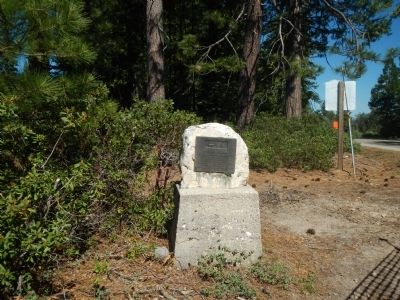
Location. 39° 28.284′ N, 120° 52.421′ W. Marker is near Alleghany, California, in Sierra County. Marker is at the intersection of Ridge Road and Mountain House Road, on the left when traveling east on Ridge Road. Touch for map. Marker is in this post office area: Alleghany CA 95910, United States of America. Touch for directions.
Other nearby markers. At least 8 other markers are within 2 miles of this marker, measured as the crow flies. Henness Pass Road - To Ridge Junction (a few steps from this marker); The Sixteen to One Mine (approx. 1˝ miles away); Rite Here (approx. 1˝ miles away); Bovee Building (approx. 1.6 miles away); Alleghany (approx. 1.6 miles away); Stamp Mill (approx. 1.6 miles away); Forest City Dance Hall (approx. 1.7 miles away); Forest City Brewery (approx. 1.7 miles away). Touch for a list and map of all markers in Alleghany.
More about this marker. This marker is located at the intersection of Ridge Road (Main Street), Mountain House Road and Pliocene Ridge Road. Pliocene Ridge Road intersects with Henness Pass Road about four miles east of the marker.
This marker is California Historical Landmark No. 421.
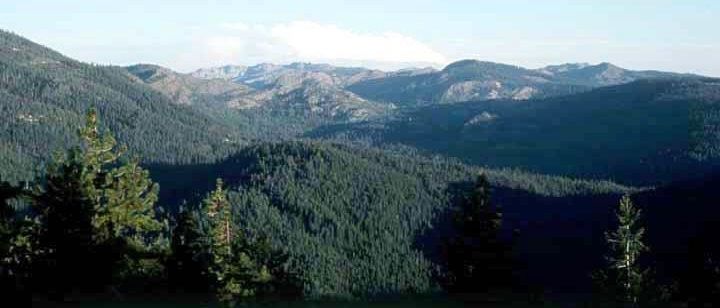
Regarding Henness Pass Road. The original Henness Pass road was primarily a road for an easier entrance into California. After the Donner Party disaster of 1846, emigrants avoided the rugged cliffs above Truckee (later Donner) Lake. Instead they turned northward taking a longer route developed by Patrick Henness (or Hanness) in either 1849 or 1850, although that is a subject of some debate.

via Snowy Range Reflections, unknown
3. The Henness Pass Trail
Snowy Range Reflections website entry
Click for more information.
Click for more information.
Credits. This page was last revised on June 24, 2021. It was originally submitted on June 11, 2013, by Barry Swackhamer of Brentwood, California. This page has been viewed 653 times since then and 26 times this year. Last updated on December 12, 2019, by Craig Baker of Sylmar, California. Photos: 1, 2. submitted on June 11, 2013, by Barry Swackhamer of Brentwood, California. 3. submitted on June 24, 2021, by Larry Gertner of New York, New York. • J. Makali Bruton was the editor who published this page.

