Danville, Virginia — The American South (Mid-Atlantic)
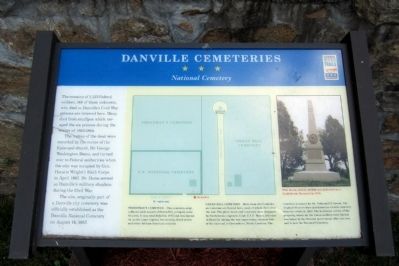
Danville Cemeteries
National Cemetery
The remains of 1,323 Federal soldiers, 148 of them unknown, who died in Danville’s Civil War prisons are interred here. Many died from smallpox which ravaged the six prisons during the winter of 1863-1864.
The names of the dead were recorded by the rector of the Episcopal church, Dr. George Washington Dame, and turned over to Federal authorities when the city was occupied by Gen. Horatio Wright’s Sixth Corps in April 1865. Dr. Dame served as Danville’s military chaplain during the Civil War.
The site, originally part of a Danville city cemetery, was officially established as the Danville National Cemetery on August 14, 1887.
Freedman’s Cemetery – This cemetery, originally set aside as part of Green Hill, occupies some 11 acres. It was established in 1872 and was intended, as the name implies, for recently freed slaves and other African-American citizens.
Green Hill Cemetery – More than 450 Confederate veterans are buried here, most of whom died after the war. The plots, lanes, and roadways were designed by Confederate engineer, Capt. E.T.D. Myers, who was in Danville during the war supervising construction of the railroad to Greensboro, North Carolina. The cemetery is named for Dr. Nathaniel T. Green. The original 45 acres were purchased as a town cemetery from his estate in 1863. The northeast corner of the property, where all the Union soldiers were buried, was taken by the Federal government after the war and is now the National Cemetery.
Erected by Virginia Civil War Trails.
Topics and series. This historical marker is listed in these topic lists: Cemeteries & Burial Sites • War, US Civil. In addition, it is included in the National Cemeteries, and the Virginia Civil War Trails series lists. A significant historical month for this entry is April 1865.
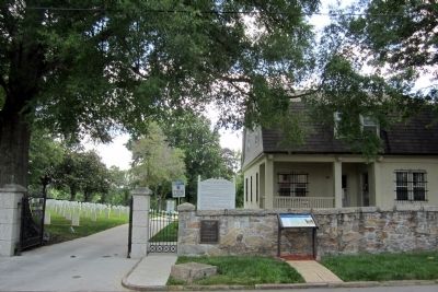
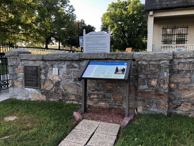
Location. 36° 34.64′ N, 79° 23.406′ W. Marker is in Danville, Virginia. Marker is on Lee Street west of Berryman Avenue, on the left when traveling west. Touch for map. Marker is at or near this postal address: 721 Lee Street, Danville VA 24541, United States of America. Touch for directions.
Other nearby markers. At least 8 other markers are within walking distance of this marker. United States National Military Cemetery - Danville (about 300 feet away, measured in a direct line); Danville Confederate Soldier's Monument (approx. 0.2 miles away); The Fox-Hawkins House (approx. 0.4 miles away); The J.B. Ley House (approx. half a mile away); The John Lee House (approx. half a mile away); The John T. Watson, Jr. House (approx. 0.6 miles away); Danville Rail Passenger Station (approx. 0.6 miles away); Caswell County, NC (approx. 0.6 miles away). Touch for a list and map of all markers in Danville.
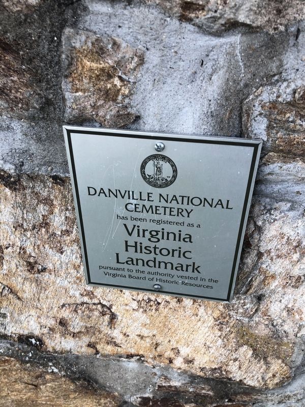
Photographed By Devry Becker Jones (CC0), April 23, 2021
4. Virginia Historic Landmark plaque for the cemetery
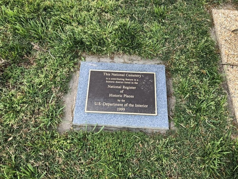
Photographed By Devry Becker Jones (CC0), April 23, 2021
5. National Register of Historic Places plaque on the grounds of the cemetery
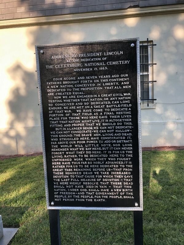
Photographed By Devry Becker Jones (CC0), April 23, 2021
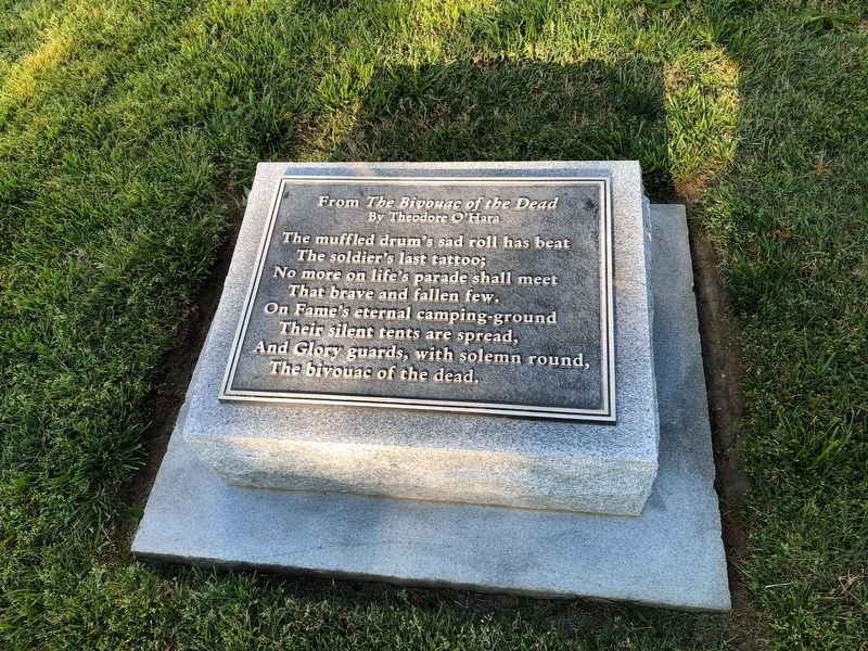
6. Gettysburg Address plaque on the grounds of the cemetery
Credits. This page was last revised on February 2, 2023. It was originally submitted on June 16, 2013, by Bernard Fisher of Richmond, Virginia. This page has been viewed 856 times since then and 23 times this year. Photos: 1, 2. submitted on June 16, 2013, by Bernard Fisher of Richmond, Virginia. 3, 4, 5, 6, 7. submitted on April 26, 2021, by Devry Becker Jones of Washington, District of Columbia.
