Gretna in Pittsylvania County, Virginia — The American South (Mid-Atlantic)
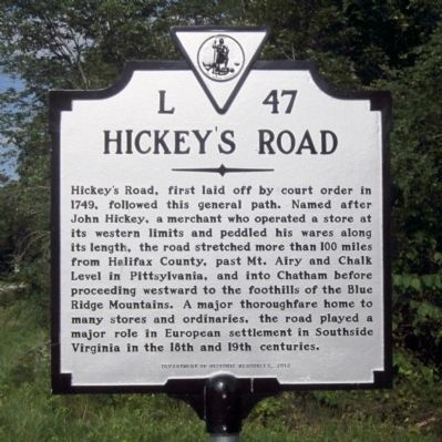
Hickey's Road
Erected 2012 by Department of Historic Resources. (Marker Number L-47.)
Topics and series. This historical marker is listed in these topic lists: Colonial Era • Roads & Vehicles • Settlements & Settlers. In addition, it is included in the Virginia Department of Historic Resources (DHR) series list. A significant historical year for this entry is 1749.
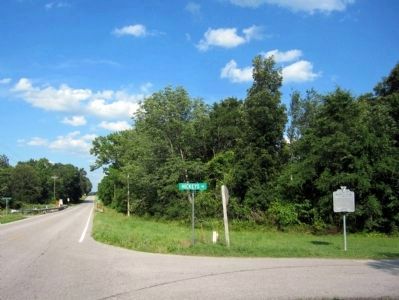
Location. Marker has been reported missing. It was located near 36° 56.094′ N, 79° 13.385′ W. Marker was in Gretna, Virginia, in Pittsylvania County. Marker was at the intersection of East Gretna Road (Virginia Route 40) and Hickeys Road, on the right when traveling east on East Gretna Road. Touch for map. Marker was in this post office area: Gretna VA 24557, United States of America. Touch for directions.
Other nearby markers. At least 8 other markers are within 13 miles of this location, measured as the crow flies. Yates Tavern (approx. 7.9 miles away); Mecklenburg Electric Cooperative (approx. 8.4 miles away); John Weatherford's Grave (approx. 9.1 miles away); Claude A. Swanson (approx. 11.1 miles away); Markham (approx. 11.6 miles away); Peytonsburg (approx. 11.6 miles away); Hargrave Military Academy (approx. 12.1 miles away); Bilhartz, Hall & Co. (approx. 12.2 miles away). Touch for a list and map of all markers in Gretna.
Credits. This page was last revised on September 8, 2017. It was originally submitted on June 16, 2013, by Bernard Fisher of Richmond, Virginia. This page has been viewed 979 times since then and 102 times this year. Photos: 1, 2. submitted on June 16, 2013, by Bernard Fisher of Richmond, Virginia.

