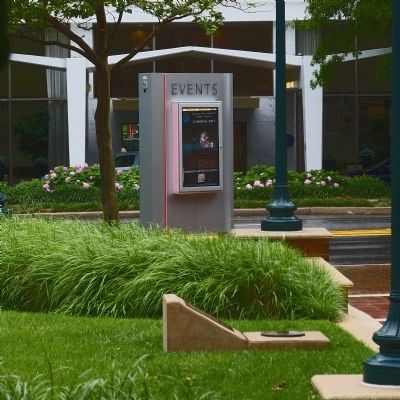
Downtown Silver Spring in Montgomery County, Maryland — The American Northeast (Mid-Atlantic)
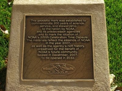
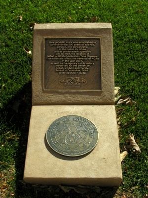
Geodetic Marker
& Time Capsule
Erected 2007 by National Oceanic and Atmospheric Administration, U.S. Department of Commerce.
Topics and series. This historical marker is listed in these topic lists: Air & Space • Government & Politics • Science & Medicine • Waterways & Vessels. In addition, it is included in the Time Capsules series list. A significant historical month for this entry is December 2007.
Location. 38° 59.49′ N, 77° 1.798′ W. Marker is in Silver Spring, Maryland, in Montgomery County. It is in Downtown Silver Spring. Marker can be reached from Georgia Avenue, on the right when traveling north. Touch for map. Marker is at or near this postal address: 1305 Georgia Ave, Silver Spring MD 20910, United States of America. Touch for directions.
Other nearby markers. At least 8 other markers are within walking distance of this marker. Two Roads (about 500 feet away, measured in a direct line); Ferdinand Rudolph Hassler (about 600 feet away); The Community of Silver Spring (about 700 feet away); Canada Dry Building (about 700 feet away); The Silver Spring (about 700 feet away); Silver Spring Shopping Center (approx. 0.2 miles away); Silver Spring Armory 1914 (approx. 0.2 miles away); Silver Spring B & O Railroad Station (approx. 0.2 miles away). Touch for a list and map of all markers in Silver Spring.
Also see . . .
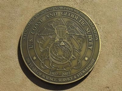
1. About the Celebration:. "In 1807, President Thomas Jefferson founded the U.S. Coast and Geodetic Survey (as the Survey of the Coast) to provide nautical charts to the maritime community for safe passage into American ports and along our extensive coastline. The Weather Bureau was founded 1870 and, one year later, the U.S. Commission of Fish and Fisheries was founded. Individually, these organizations were America's first physical science agency, America's first agency dedicated specifically to the atmospheric sciences, and America's first conservation agency." (Submitted on June 23, 2013, by Allen C. Browne of Silver Spring, Maryland.)
2. Congressional Resolution 147. Recognizing 200 Years of research, service to the people of the United States.(PDF)
(Submitted on June 23, 2013, by Allen C. Browne of Silver Spring, Maryland.)
Credits. This page was last revised on May 25, 2023. It was originally submitted on June 23, 2013, by Allen C. Browne of Silver Spring, Maryland. This page has been viewed 589 times since then and 12 times this year. Photos: 1, 2, 3, 4, 5. submitted on June 23, 2013, by Allen C. Browne of Silver Spring, Maryland. • Bill Pfingsten was the editor who published this page.
