Near St. Peter in Nicollet County, Minnesota — The American Midwest (Upper Plains)
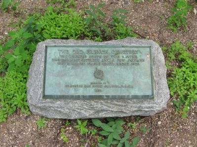
The Old French Cemetery
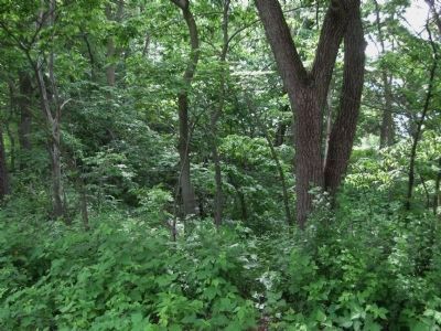
was located south of this ravine.
The earliest settlers and a few Indians
were buried there until about 1850.
(D. A. R. Emblem)
Erected by
Traverse des Sioux Chapter, D.A.R.
1939
Erected 1939 by Traverse Des Sioux Chapter, D.A.R..
Topics and series. This historical marker is listed in this topic list: Cemeteries & Burial Sites. In addition, it is included in the Daughters of the American Revolution series list. A significant historical year for this entry is 1850.
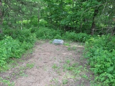
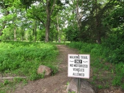
Location. 44° 21.252′ N, 93° 57.339′ W. Marker is near St. Peter, Minnesota, in Nicollet County. Marker can be reached from Old Minnesota Avenue west of Minnesota Avenue (U.S. 169). A small parking lot is just west of the intersection. Touch for map. Marker is in this post office area: Saint Peter MN 56082, United States of America. Touch for directions.
Other nearby markers. At least 8 other markers are within walking distance of this marker. The Treaty of Traverse des Sioux (within shouting distance of this marker); Treaty of Traverse des Sioux Site (within shouting distance of this marker); Exploring the River Valley (approx. 0.2 miles away); A River Crossroad (approx. 0.2 miles away); Fur Trader Louis Provencalle (approx. ¼ mile away); The Rush for Land (approx. ¼ mile away); Treaty of Traverse Des Sioux (approx. 0.3 miles away); Ministering to the Dakota (approx. 0.3 miles away). Touch for a list and map of all markers in St. Peter.
Credits. This page was last revised on June 16, 2016. It was originally submitted on June 25, 2013, by Keith L of Wisconsin Rapids, Wisconsin. This page has been viewed 654 times since then and 27 times this year. Photos: 1, 2, 3, 4. submitted on June 25, 2013, by Keith L of Wisconsin Rapids, Wisconsin.


