Seneca in Montgomery County, Maryland — The American Northeast (Mid-Atlantic)
Rowser’s Ford
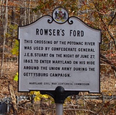
This crossing of the Potomac River was used by Confederate General J.E.B. Stuart on the night of June 27, 1863, to enter Maryland on his ride around the Union army during the Gettysburg Campaign.
Erected by the Maryland Civil War Centennial Commission.
Topics. This historical marker is listed in this topic list: War, US Civil. A significant historical date for this entry is June 27, 1863.
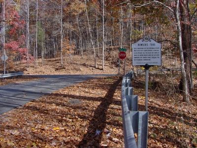
Location. 39° 4.499′ N, 77° 19.595′ W. Marker is in Seneca, Maryland, in Montgomery County. Marker is at the intersection of Violettes Lock Road and River Road (Maryland Route 190), on the left when traveling south on Violettes Lock Road. Touch for map. Marker is in this post office area: Germantown MD 20874, United States of America. Touch for directions.
Other nearby markers. At least 8 other markers are within walking distance of this marker. A Veteran’s Life in Montgomery County (approx. 0.8 miles away); Seneca Mills During the Civil War (approx. 0.8 miles away); Seneca Store (approx. 0.8 miles away); Seneca Mill (approx. 0.8 miles away); a different marker also named Seneca Store (approx. 0.8 miles away); Seneca Creek: “A Raging River” (approx. 0.8 miles away); Seneca: “Average Man’s Resort” (approx. 0.8 miles away); a different marker also named Rowser’s Ford (approx. 0.9 miles away). Touch for a list and map of all markers in Seneca.
More about this marker. Marker is about half a mile from the river.
Rowser's Ford is actually located at Lock 24, a little bit further up the road.
Also see . . . Rowser's Ford. C&O Canal Trust entry (Submitted on December 30, 2020, by Larry Gertner of New York, New York.)

Photographed By Craig Swain, August 15, 2009
3. Remains of Dam #2
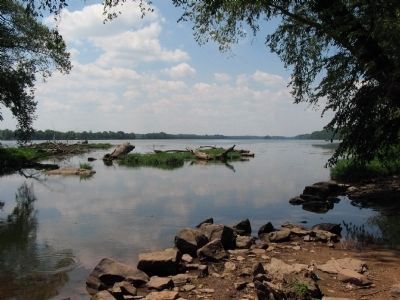
An old dam across the Potomac provided water for both a lift lock and an inlet lock. The shallow water downstream from this dam was often used as ford by travelers and, during the Civil War, by military forces. When Stuart's cavalry crossed, recent rains made the ford difficult. Artillery limbers were emptied, and troopers hand carried ammunition across the river. But with the night crossing effected, the Confederate Cavalry was behind the Federal Army.
Credits. This page was last revised on May 13, 2023. It was originally submitted on November 5, 2006, by J. J. Prats of Powell, Ohio. This page has been viewed 2,923 times since then and 39 times this year. Last updated on July 6, 2022, by Carl Gordon Moore Jr. of North East, Maryland. Photos: 1, 2. submitted on November 5, 2006, by J. J. Prats of Powell, Ohio. 3. submitted on August 30, 2009, by Craig Swain of Leesburg, Virginia. • Bernard Fisher was the editor who published this page.

