Near Sharpsburg in Washington County, Maryland — The American Northeast (Mid-Atlantic)
Branch's Brigade
Inscription.
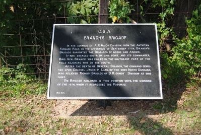
Branch's Brigade
In the advance of A. P. Hill's Division from the Antietam Furnace Road, on the Afternoon of September 17th, Branch's Brigade supported the Brigades of Gregg and Archer.
It was engaged south of this point, and its commander, Brig. Gen. Branch was killed in the southeast part of the field adjoining this on the south.
After the death of General Branch, the command devolved upon Colonel James H. Lane, of the 28th North Carolina, who relieved Toombs' Brigade of D.R. Jones' Division at this point.
The Brigade remained in this position until the morning of the 19th, when it recrossed the Potomac.
Erected by Antietam Battlefield Board. (Marker Number 371.)
Topics and series. This historical marker is listed in this topic list: War, US Civil. In addition, it is included in the Antietam Campaign War Department Markers series list. A significant historical date for this entry is September 17, 1862.
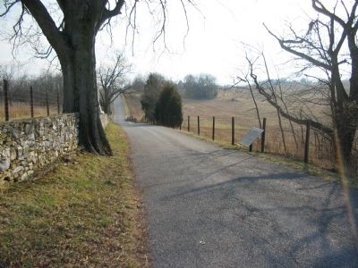
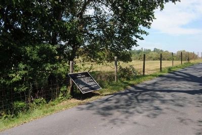
Location. 39° 27.042′ N, 77° 44.415′ W. Marker is near Sharpsburg, Maryland, in Washington County. Marker is on Branch Avenue, on the right when traveling south. Touch for map. Marker is in this post office area: Sharpsburg MD 21782, United States of America. Touch for directions.
Other nearby markers. At least 10 other markers are within walking distance of this marker. Ninth Army Corps (within shouting distance of this marker); 48th Pennsylvania Volunteer Infantry (within shouting distance of this marker); 23rd Ohio Infantry (within shouting distance of this marker); Durell’s Independent Battery (within shouting distance of this marker); 51st Pennsylvania Volunteer Infantry (within shouting distance of this marker); a different marker also named Ninth Army Corps (within shouting distance of this marker); a different marker also named Ninth Army Corps (about 300 feet away, measured in a direct line); a different marker also named Ninth Army Corps (about 500 feet away); Wise (Virginia) Artillery (about 500 feet away); Longstreet's Command (about 600 feet away). Touch for a list and map of all markers in Sharpsburg.
Also see . . .
1. Antietam Battlefield. National Park Service site. (Submitted on March 27, 2008, by Craig Swain of Leesburg, Virginia.)
2. Branch's Brigade. The brigade consisted of the 7th, 18th, 28th, 33rd, and 37th North Carolina Infantry Regiments. (Submitted on March 27, 2008, by Craig Swain of Leesburg, Virginia.)

Photographed By Craig Swain, February 9, 2008
5. Branch's Brigade Arrives on the Battlefield
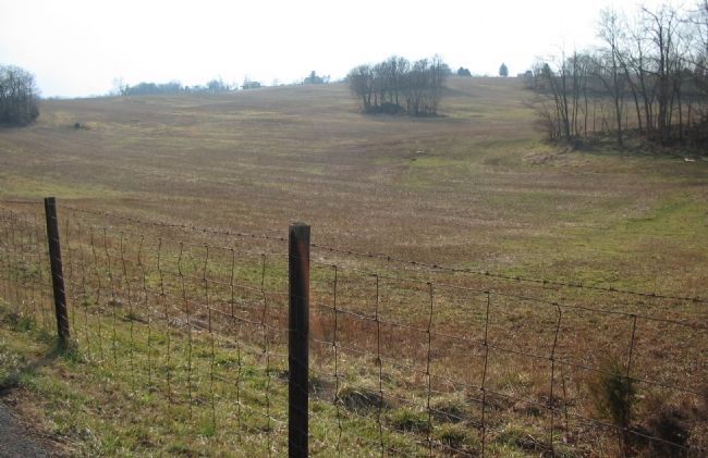
Branch's Brigade advanced from the south, almost directly on the left flank of the advancing Federals from Rodman's Division of the IX Corps. This view looks southeast from the tablet location. The Brigade advanced over the spur in the background, and continued northward across the foreground. Around the time of Branch's mortal wounding, the Brigade turned to the east and dressed onto the stone wall, somewhat on line with the modern day Branch Avenue.
Credits. This page was last revised on September 23, 2017. It was originally submitted on March 26, 2008, by Craig Swain of Leesburg, Virginia. This page has been viewed 1,045 times since then and 16 times this year. Photos: 1. submitted on March 26, 2008, by Craig Swain of Leesburg, Virginia. 2. submitted on October 11, 2015, by Brian Scott of Anderson, South Carolina. 3. submitted on March 26, 2008, by Craig Swain of Leesburg, Virginia. 4. submitted on October 11, 2015, by Brian Scott of Anderson, South Carolina. 5. submitted on March 27, 2008, by Craig Swain of Leesburg, Virginia.


