Near Alexander City in Tallapoosa County, Alabama — The American South (East South Central)
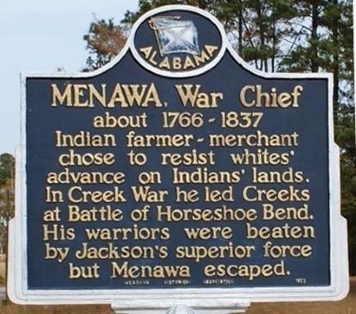
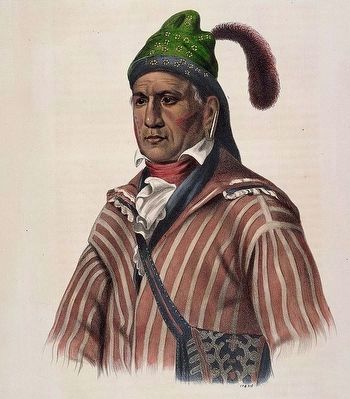
Menawa, War Chief
about 1766 - 1837
Erected 1973 by Alabama Historical Commission.
Topics. This historical marker is listed in these topic lists: Native Americans • War of 1812.
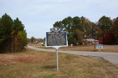
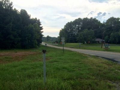
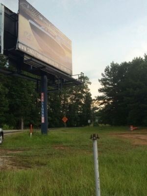
Location. Marker is missing. It was located near 32° 51.426′ N, 85° 57.59′ W. Marker was near Alexander City, Alabama, in Tallapoosa County. Marker was at the intersection of Our Childrens Highway (State Highway 63) and Walker Ferry Road, on the right when traveling south on Our Childrens Highway. Touch for map. Marker was in this post office area: Alexander City AL 35010, United States of America. Touch for directions.
Other nearby markers. At least 8 other markers are within 7 miles of this location, measured as the crow flies. Youngsville (approx. 5.9 miles away); Alexander City: A Textile Community (approx. 6 miles away); The First Baptist Church (approx. 6 miles away); First Presbyterian Church (approx. 6 miles away); Court Square (approx. 6 miles away); The Savannah And Memphis Railroad 1874 (approx. 6.1 miles away); First United Methodist Church 1872 (approx. 6.3 miles away); Fort Okfuskee (approx. 6.4 miles away). Touch for a list and map of all markers in Alexander City.
Also see . . . Wikipedia article on Menawa. (Submitted on June 28, 2016, by Mark Hilton of Montgomery, Alabama.)
Credits. This page was last revised on May 19, 2023. It was originally submitted on December 10, 2011, by Dodson M. Curry of Birmingham, Alabama. This page has been viewed 1,817 times since then and 42 times this year. Last updated on July 13, 2013, by Kevin Vincent of Arlington, Virginia. Photos: 1, 2. submitted on December 8, 2011, by Dodson M. Curry of Birmingham, Alabama. 3. submitted on June 28, 2016, by Mark Hilton of Montgomery, Alabama. 4, 5. submitted on July 19, 2015, by Mark Hilton of Montgomery, Alabama. • Bill Pfingsten was the editor who published this page.
