Cumberland Township near Gettysburg in Adams County, Pennsylvania — The American Northeast (Mid-Atlantic)
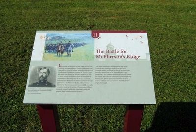
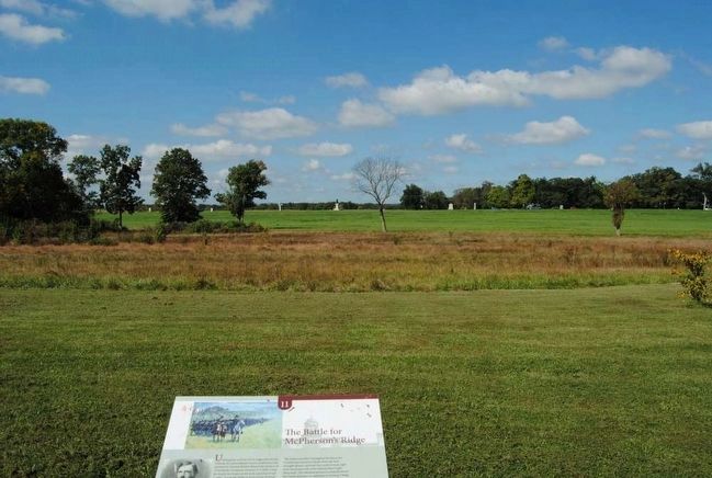
The Battle for McPherson's Ridge
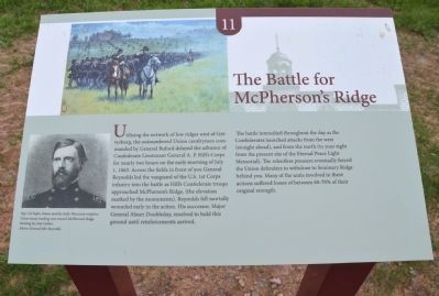
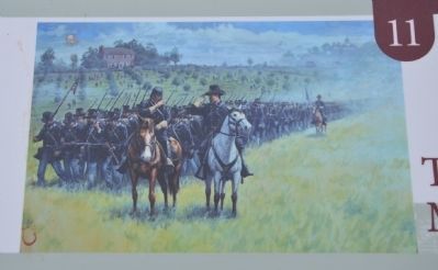
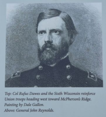
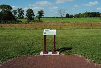
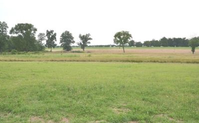
Utilizing the network of low ridges west of Gettysburg, the outnumbered Union cavalrymen commanded by General Buford delayed the advance of Confederate Lieutenant General A. P. Hill's Corps for nearly two hours on the early morning of July 1, 1863. Across the fields in front of you General Reynolds led the vanguard of the U.S. 1st Corps infantry into the battle as Hill's Confederate troops approached McPherson's Ridge (the elevation marked by the monuments). Reynolds fell mortally wounded early in the action. His successor, Major General Abner Doubleday, resolved to hold this ground until reinforcements arrived.
The battle intensified throughout the day as the Confederates launched attacks from the west (straight ahead), and from the north (to your right from the present site of the Eternal Peace Light Memorial). The relentless pressure eventually forced the Union defenders to withdraw to Seminary Ridge behind you. Many of the units involved in these actions suffered losses of between 60-70% of their original strength.
Erected 2013 by The Seminary Ridge Historic Preservation Foundation. (Marker Number 11.)
Topics and series. This historical marker is listed in this topic list: War, US Civil. In addition, it is included in the Gettysburg - Seminary Ridge Historic Walking Tour series list. A significant historical date for this entry is July 1, 1863.
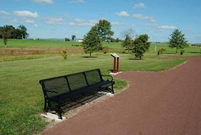
Location. 39° 49.985′ N, 77° 14.831′ W. Marker is near Gettysburg, Pennsylvania, in Adams County. It is in Cumberland Township. Marker can be reached from Seminary Ridge Avenue. Marker is best accessed by parking in the Seminary Ridge Museum parking lot and walking a short distance westward down the Historic Walking Trail. Touch for map. Marker is in this post office area: Gettysburg PA 17325, United States of America. Touch for directions.
Other nearby markers. At least 10 other markers are within walking distance of this marker. The Cupola (within shouting distance of this marker); The Confederate Assault (within shouting distance of this marker); Habitat of Seminary Ridge (about 500 feet away, measured in a direct line); The Union Defense of Seminary Ridge (about 600 feet away); Elsie Singmaster (about 600 feet away); Stevens' Battery (about 700 feet away); Gettysburg Campaign (about 700 feet away); Gettysburg Seminary (about 700 feet away); Emanuel Bell Tower (about 700 feet away); Ewell's Corps (about 700 feet away). Touch for a list and map of all markers in Gettysburg.
More about this marker. This marker is Stop 11 on the Seminary Ridge Historic Walking Trail.
Credits. This page was last revised on February 7, 2023. It was originally submitted on July 13, 2013, by Karl Stelly of Gettysburg, Pennsylvania. This page has been viewed 741 times since then and 32 times this year. Photos: 1, 2, 3, 4. submitted on July 13, 2013, by Karl Stelly of Gettysburg, Pennsylvania. 5, 6, 7. submitted on December 4, 2015, by Brian Scott of Anderson, South Carolina. 8. submitted on July 13, 2013, by Karl Stelly of Gettysburg, Pennsylvania. 9. submitted on December 4, 2015, by Brian Scott of Anderson, South Carolina. • Bill Pfingsten was the editor who published this page.
