Schuylerville in Saratoga County, New York — The American Northeast (Mid-Atlantic)
Victory Woods
Inscription.
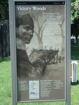
You are standing upon land that witnessed a momentous event – an outcome considered unimaginable at the time. What happened here forever altered human history.
In early October 1777, during the American Revolution, 6,000 British soldiers retreated here after devastating defeats in the Battles of Saratoga fought eight miles to the south. Surrounded, battered, and besieged by the American army, the forces of the Crown all surrendered on October 17, 1777.
An army of amateurs had defeated world power. The victory at Saratoga spurred international aid to help the United States win its independence, which spread the ideal of freedom throughout the world.
Erected by National Park Service.
Topics. This historical marker is listed in this topic list: War, US Revolutionary. A significant historical year for this entry is 1777.
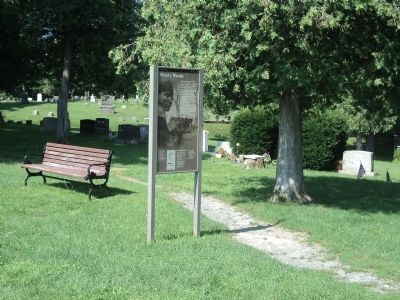
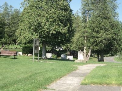
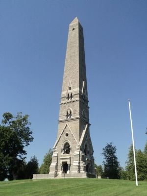
Location. 43° 5.9′ N, 73° 35.609′ W. Marker is in Schuylerville, New York, in Saratoga County. Marker can be reached from Burgoyne Street, on the left when traveling west. Marker is located behind the Saratoga Victory Monument. Touch for map. Marker is in this post office area: Schuylerville NY 12871, United States of America. Touch for directions.
Other nearby markers. At least 8 other markers are within walking distance of this marker. Major Nathan Goodale (here, next to this marker); Saratoga Monument Association (within shouting distance of this marker); Saratoga Monument (about 400 feet away, measured in a direct line); You’ve Been Robbed! (approx. ¼ mile away); a different marker also named Victory Woods (approx. ¼ mile away); Burgoyne Hopelessly Surrounded (approx. 0.3 miles away); A Good Place to Set Up Camp (approx. 0.3 miles away); The Last Ditch Defenses (approx. 0.3 miles away). Touch for a list and map of all markers in Schuylerville.
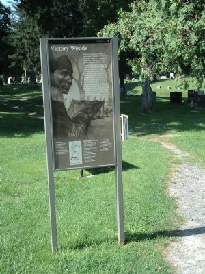
More about this marker. The background of the marker features a picture of a British soldier in the fortifications that were built at this location.
Related markers. Click here for a list of markers that are related to this marker. Take of tour of Victory Woods, where the British army under Gen. John Burgoyne retreated to after the Battles of Saratoga, and from where he surrendered on October 17, 1777.
Also see . . .
1. The Battle of Saratoga. Saratoga County Chamber of Commerce website entry (Submitted on July 17, 2013, by Bill Coughlin of Woodland Park, New Jersey.)
2. Saratoga National Historic Park. National Park Service website. (Submitted on July 17, 2013, by Bill Coughlin of Woodland Park, New Jersey.)
3. A British perspective on the Battle of Saratoga from BritishBattles.com. (Submitted on July 17, 2013, by Bill Coughlin of Woodland Park, New Jersey.)
Credits. This page was last revised on February 25, 2022. It was originally submitted on July 17, 2013, by Bill Coughlin of Woodland Park, New Jersey. This page has been viewed 525 times since then and 17 times this year. Photos: 1, 2, 3, 4, 5, 6. submitted on July 17, 2013, by Bill Coughlin of Woodland Park, New Jersey.
