Near Myersville in Frederick County, Maryland — The American Northeast (Mid-Atlantic)
The Bill Pate Portal
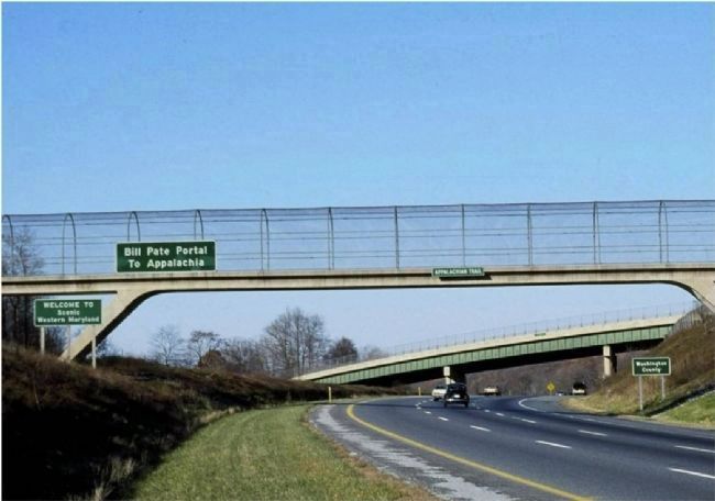
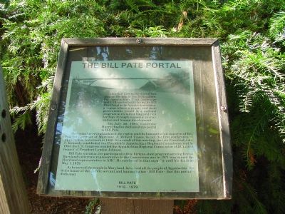
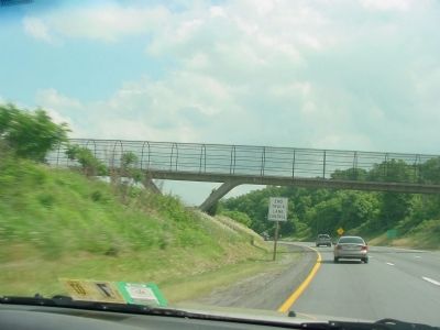
One half mile to the west of this plaque, the gap in South Mountain, the Appalachian Trail footbridge, and I-70 symbolically form the Bill Pate Portal to the Appalachian region—a region where a people and their governments joined in a national program to reclaim a long and rich heritage through economic revitalization and human development.
On July 30, 1981, Governor Harry Hughes dedicated this portal to Bill Pate.
The vision for revitalization of the region and the humanitarian concerns of Bill Pate led Governor of Maryland J. Millard Tawes, to call the first conference of Appalachian Governors in 1960. As a result of this meeting, the late President John F. Kennedy established the President’s Appalachian Regional Commission (ARC) at the request of Vice President Lyndon Johnson.
Bill Pate was an active participant in this thirteen-state program serving first as Maryland's alternate representative to the Commission and in 1971 was named the Maryland representative to ARC. He continued in that capacity until his death on May 1, 1979.
As he served the people in Maryland, he served all the people of Appalachia. It is to the honor of this public servant and humanitarian—Bill Pate—that this portal is dedicated.
Bill Pate
1918–1979
Topics and series. This historical marker is listed in these topic lists: Bridges & Viaducts • Roads & Vehicles. In addition, it is included in the Former U.S. Presidents: #36 Lyndon B. Johnson series list. A significant historical date for this entry is July 30, 1981.
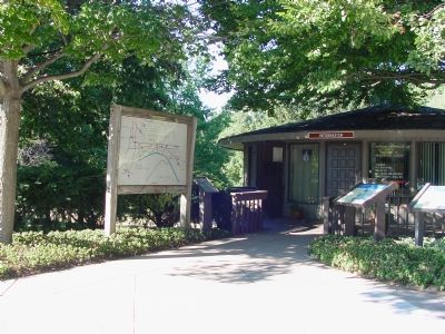
Location. Marker has been permanently removed. It was located near 39° 31.476′ N, 77° 36.089′ W. Marker was near Myersville, Maryland, in Frederick County. Marker was on the West Welcome Center and Rest Area (Interstate 70) west of Exit 42 (Maryland Route 17). Touch for map. Marker was in this post office area: Myersville MD 21773, United States of America.
We have been informed that this sign or monument is no longer there and will not be replaced. This page is an archival view of what was.
Other nearby markers. At least 8 other markers are within walking distance of this location. Explore Maryland at the Crossroads of Conflict (within shouting distance of this marker); Explore Maryland as the Crucible of the Nation (within shouting distance of this marker); Camp David (within shouting distance of this marker); The Historic National Road (within shouting distance of this marker);
Underground Railroad (within shouting distance of this marker); The Battle of Antietam (within shouting distance of this marker); C&O Canal (within shouting distance of this marker); Washington County (within shouting distance of this marker). Touch for a list and map of all markers in Myersville.

Photographed By Roderick A. MacRae, circa 1982/1983
3. The Bill Pate Portal Sign on I-70 Westbound, South Mountain
This sign was installed in the early 1980s and removed shortly thereafter when, as I recall, when concern was expressed that the association with Appalachia would taint perceptions of Washington County. It was never replaced.
Credits. This page was last revised on April 23, 2022. It was originally submitted on November 8, 2006, by J. J. Prats of Powell, Ohio. This page has been viewed 2,585 times since then and 20 times this year. Last updated on February 23, 2021, by Carl Gordon Moore Jr. of North East, Maryland. Photos: 1, 2. submitted on November 8, 2006, by J. J. Prats of Powell, Ohio. 3. submitted on July 2, 2015, by Roderick A. MacRae of Fairplay, Maryland. 4. submitted on June 9, 2007, by J. J. Prats of Powell, Ohio. • J. Makali Bruton was the editor who published this page.


