Las Cruces in Doņa Ana County, New Mexico — The American Mountains (Southwest)
Rio Grande
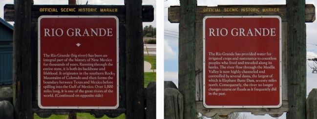
The Rio Grande (big river) has been an integral part of the history of New Mexico for thousands of years. Running through the entire state, it is both its backbone and lifeblood. It originates in the southern Rocky Mountains of Colorado and then forms the boundary between Texas and Mexico before spilling into the Gulf of Mexico. Over 1,800 miles long, it is one of the great rivers of the world. (Continued on opposite side)
Marker Reverse:
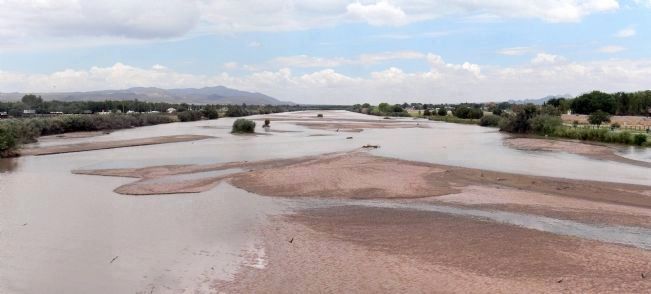
The Rio Grande has provided water for irrigated crops and sustenance to countless peoples who lived and traveled along its banks. The river flow through the Mesilla Valley is now highly channeled and controlled by several dams, the largest of which is Elephant Butte Dam, seventy miles north. Consequently, the river no longer changes course or floods as it frequently did in the past.
Erected by New Mexico Historic Preservation Division.
Topics. This historical marker is listed in this topic list: Natural Features.
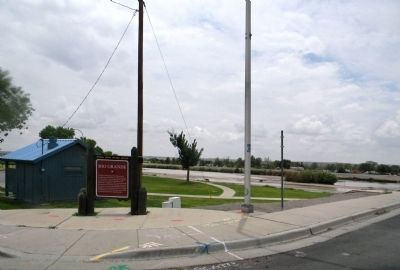
Location. 32° 18.644′ N, 106° 49.597′ W. Marker is in Las Cruces, New Mexico, in Doņa Ana County. Marker is at the intersection of West Picacho Avenue (U.S. 70) and Hoskins Lane, on the right when traveling east on West Picacho Avenue. The marker is located at the entrance to the La Llorona Park, on the east bank of the Rio Grande. Touch for map. Marker is at or near this postal address: 3440 West Picacho Avenue, Las Cruces NM 88007, United States of America. Touch for directions.
Other nearby markers. At least 8 other markers are within 4 miles of this marker, measured as the crow flies. Las Cruces Railroad Depot (approx. 2.3 miles away); The Santa Fe Railroad Depot (approx. 2.3 miles away); The Branigan Building (approx. 2.7 miles away); Doņa Ana County Courthouse (approx. 2.8 miles away); Rio Grande Theatre (approx. 2.8 miles away); La Mesilla (approx. 2.9 miles away); Las Cruces on the Camino Real (approx. 3.1 miles away); a different marker also named La Mesilla (approx. 3.1 miles away). Touch for a list and map of all markers in Las Cruces.
Also see . . . RIO GRANDE | The Handbook of Texas Online| Texas State Historical Association (TSHA). The Rio Grande has been known by many names over time and in different parts of its course. The Pueblo Indians called it Posoge, which meant "big river." (Submitted on July 25, 2013, by PaulwC3 of Northern, Virginia.)
Credits. This page was last revised on September 24, 2020. It was originally submitted on July 25, 2013, by PaulwC3 of Northern, Virginia. This page has been viewed 909 times since then and 34 times this year. Photos: 1, 2, 3. submitted on July 25, 2013, by PaulwC3 of Northern, Virginia.


