St. Marks in Wakulla County, Florida — The American South (South Atlantic)
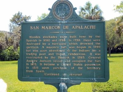
San Marcos de Apalache
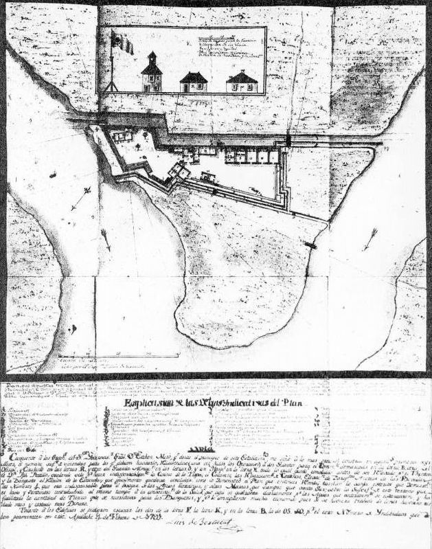
Wooden stockades were built here by the Spanish in 1680 an 1758. In 1758, these were destroyed by a hurricane which drowned the garrison. A masonry fort was begun in 1759 but was soon abandoned to the Indians for a trading post and Indian rendezvous. It was reoccupied by the Spanish in 1783. General Andrew Jackson seized and occupied the fort in 1819. It became a United States possession in 1821 upon purchase of the territory from Spain.
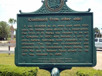
Reverse:
It was occupied as an army post until 1824 when the Indians were moved to a reservation. The Town of St. Marks was created by an act of Congress in 1830 and became a port of entry before railroads were extended to the seaboard. The fort was re-established and occupied by the Confederate Army during the Civil War and a Federal Naval attack on the fort was repulsed in 1865.
Erected 1965 by Florida Board of Park and Historic Memorials in cooperation with Florida State Society and Dominie Everardus Bogardus Chapter, Colonial Dames XVii Century. (Marker Number F-131.)
Topics and series. This historical marker is listed in these topic lists: Forts and Castles • Native Americans • Railroads & Streetcars • War, US Civil. In addition, it is included in the Former U.S. Presidents: #07 Andrew Jackson series list. A significant historical year for this entry is 1680.
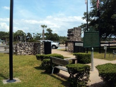
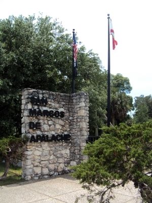
Location. 30° 9.128′ N, 84° 12.615′ W. Marker is in St. Marks, Florida, in Wakulla County. Marker is on Old Fort Road, ¼ mile south of Old Fort Drive. The fort and the marker stand at the confluence of the St. Marks and Wakulla Rivers. Touch for map. Marker is at or near this postal address: 148 Old Fort Road, St Marks, Florida, Saint Marks FL 32355, United States of America. Touch for directions.
Other nearby markers. At least 8 other markers are within walking distance of this marker. Fort St. Marks Military Cemetery (within shouting distance of this marker); Princess Malee "Milly" Francis (within shouting distance of this marker); Fort San Marcos de Apalache (within shouting distance of this marker); The Old Store on the Wakulla River (about 300 feet away, measured in a direct line); a different marker also named San Marcos de Apalache (about 400 feet away); Telltale Bones (approx. 0.4 miles away); Port Leon (approx. 0.4 miles away); St. Marks Bike Trail Park (approx. 0.4 miles away). Touch for a list and map of all markers in St. Marks.
Also see . . .
1. San Marcos de Apalache Historic State Park. The official park page at the Florida State Parks website. (Submitted on July 29, 2013, by Jamie Abel of Westerville, Ohio.)
2. Fort San Marcos de Apalache Marks, Florida. An American Latino Heritage page about San Marcos at the National Park Service web site. (Submitted on July 29, 2013, by Jamie Abel of Westerville, Ohio.)
Credits. This page was last revised on October 26, 2020. It was originally submitted on July 29, 2013, by Jamie Abel of Westerville, Ohio. This page has been viewed 768 times since then and 26 times this year. Photos: 1, 2, 3, 4. submitted on July 29, 2013, by Jamie Abel of Westerville, Ohio. 5. submitted on October 26, 2020, by Larry Gertner of New York, New York. • Bill Pfingsten was the editor who published this page.
