Chillicothe in Livingston County, Missouri — The American Midwest (Upper Plains)
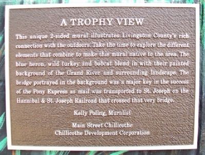
A Trophy View
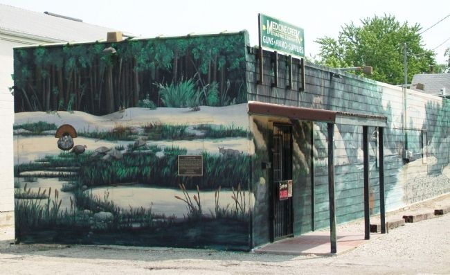
This unique 2-sided mural illustrates Livingston County's rich connection with the outdoors. Take the time to explore the different elements that combine to make this mural native to this area. The blue heron, wild turkey and bobcat blend in with their painted background of the Grand River and surrounding landscape. The bridge portrayed in the background was a major key in the success of the Pony Express as mail was transported to St. Joseph on the Hannibal & St. Joseph Railroad that crossed that very bridge.
Kelly Poling, Muralist
Erected by Main Street Chillicothe and Chillicothe Development Corporation.
Topics and series. This historical marker is listed in these topic lists: Animals • Bridges & Viaducts • Environment • Settlements & Settlers. In addition, it is included in the Missouri, Chillicothe Downtown Mural Walking Tour series list.
Location. 39° 47.719′ N, 93° 33.079′ W. Marker is in Chillicothe, Missouri, in Livingston County. Marker is at the intersection of Elm Street and Calhoun Street, on the right when traveling north on Elm Street. Touch for map. Marker is at or near this postal address: 801 Elm Street, Chillicothe MO 64601, United States of America. Touch for directions.
Other nearby markers. At least 8 other markers are within walking distance of this marker. Railroad Boom (about 400 feet away, measured in a direct line); Going Somewhere (about 400 feet away); Shale Hill Brick & Tile Plant (about 500 feet away); Palace of Fashion (about 500 feet away); Glove Capital of the World (about 600 feet away); Chillicothe City Hall (about 600 feet away); Locust Street (about 600 feet away); Bradley's Saloon (about 700 feet away). Touch for a list and map of all markers in Chillicothe.
Also see . . .
1. The Hannibal and St. Joseph Railroad. Abandoned Rails website entry (Submitted on August 3, 2013, by William Fischer, Jr. of Scranton, Pennsylvania.)
2. Main Street Chillicothe. Website homepage (Submitted on December 26, 2023, by Larry Gertner of New York, New York.)
Credits. This page was last revised on December 26, 2023. It was originally submitted on August 3, 2013, by William Fischer, Jr. of Scranton, Pennsylvania. This page has been viewed 339 times since then and 38 times this year. Photos: 1, 2. submitted on August 3, 2013, by William Fischer, Jr. of Scranton, Pennsylvania.

