Near Wytheville in Wythe County, Virginia — The American South (Mid-Atlantic)
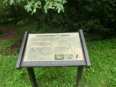
Homesteader's Legacy
Living Clues to the Past
Here you will find pears, apples, daffodils, and white cedars. Other plants to watch for at old homesteads are lilacs and daylilies.
Wildlife Moves In
The old homestead made an opening in the forest. This makes habitat for wildlife, and a great place for us to watch wildlife.
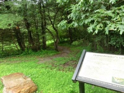
Take a short walk on the trail to get a closer look at the homestead site and plants.
(sidebar)
The Story Told in Song
A lilac bush and an Apple tree
were standing in the woods,
out on the hill above the town,
where once a farmhouse stood.
A long time ago we were planted by hands
that worked in the mines and the mills,
when the country was young
and the people who came
built their homes in the hills.
— Kate Wolf “The Lilac and the Apple”
Topics. This historical marker is listed in this topic list: Settlements & Settlers.
Location. 37° 1.072′ N, 81° 8.608′ W. Marker is near Wytheville, Virginia, in Wythe County . Marker is on Krenning Road (Virginia Route 717) 1½ miles west of Interstate 77, on the left when traveling west. Touch for map. Marker is in this post office area: Wytheville VA 24382, United States of America. Touch for directions.
Other nearby markers. At least 8 other markers are within 5 miles of this marker, measured as the crow flies. Battle of Wytheville (approx. 2.6 miles away); One of the “Big Four” (approx. 3.4 miles away); Crockett’s Cove (approx. 3.9 miles away); a different marker also named Battle of Wytheville (approx. 4.2 miles away); The Flohr House (approx. 4½ miles away); a different marker also named Battle of Wytheville (approx. 4½ miles away); Historic St. John Lutheran Church (approx. 4½ miles away); St. John’s Lutheran Church (approx. 4.6 miles away). Touch for a list and map of all markers in Wytheville.
Credits. This page was last revised on June 16, 2016. It was originally submitted on August 5, 2013, by Don Morfe of Baltimore, Maryland. This page has been viewed 588 times since then and 34 times this year. Photos: 1, 2. submitted on August 5, 2013, by Don Morfe of Baltimore, Maryland. • Bernard Fisher was the editor who published this page.

