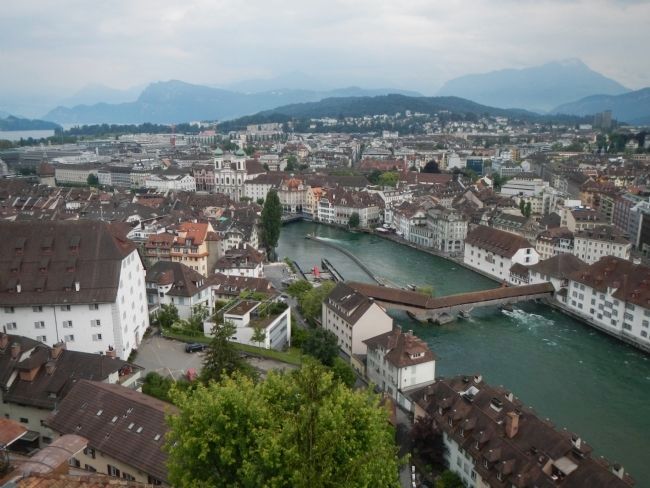
Luzern, Switzerland — Central Europe (the Alps)
The Spreuer Bridge
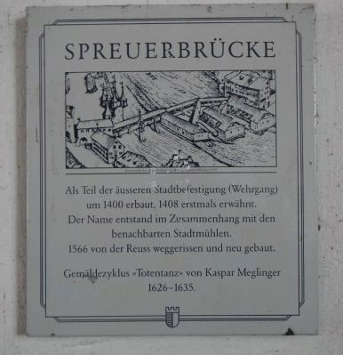
Spreuerbrücke
Inscription.
Der Name entstand im mit den benachbarten Stadtmühlen.
1566 von der Reuss weggerissen und neu gebaut.
Gemäldezyklus << Totentanz >> von Kaspar Meglinger 1626 – 1635.
German-English translation by Google translate.
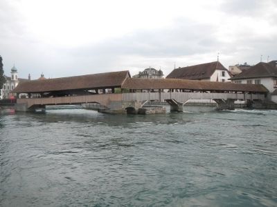
Built around 1400 as part of the outer city wall (parapet), first mentioned in 1408. The name originated in connection to the neighboring mills.
In 1566 swept away by the Reuss River and rebuilt anew.
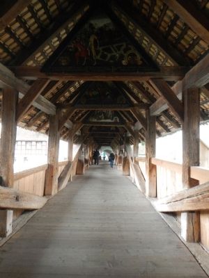
Cycle of paintings << Dance of Death>> painted by Kaspar Meglinger 1626-1635.
Erected by Stadt der Luzern (City of Lucerne).
Topics. This historical marker is listed in this topic list: Bridges & Viaducts. A significant historical year for this entry is 1400.
Location. 47° 3.093′ N, 8° 18.082′ E. Marker is in Luzern. Marker is on Spreuerbrücke, on the right when traveling west. Touch for map. Marker is in this post office area: Luzern 6003, Switzerland. Touch for directions.
Other nearby markers. At least 8 other markers are within walking distance of this marker. Lower- or Basel-Gate (a few steps from this marker); The Old Armory (within shouting distance of this marker); The Spreuer Bridge Paintings (about 90 meters away, measured in a direct line); Mühlenplatz (Mill Place) (about 90 meters away); Louis Pfyffer von Wyher (about 120 meters away); The Mills Gate (about 150 meters away); Dr. Jur. Kasimir Pfyffer (about 150 meters away); The Von Sonnenberg House (about 150 meters away). Touch for a list and map of all markers in Luzern.
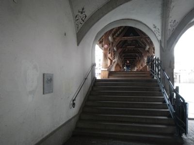
More about this marker. This marker is located at the entrance to the Spreuerbrücke on the south side of the Reuss River. The pedestrian bridge gets its name from the chafe, the hull of the grain the millers dumped from the bridge.
Credits. This page was last revised on June 16, 2016. It was originally submitted on August 9, 2013, by Barry Swackhamer of Brentwood, California. This page has been viewed 493 times since then and 9 times this year. Photos: 1, 2, 3, 4, 5. submitted on August 9, 2013, by Barry Swackhamer of Brentwood, California. • Andrew Ruppenstein was the editor who published this page.
