Near Sharpsburg in Washington County, Maryland — The American Northeast (Mid-Atlantic)
Jackson's Command
Gregg's Brigade, Hill's Light Division
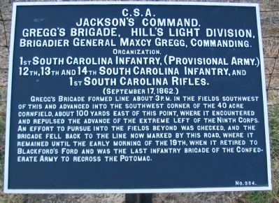
Jackson's Command.
Gregg's Brigade, Hill's Light Division,
Brigadier General Maxcy Gregg, Commanding.
Organization.
1st South Carolina Infantry, (Provisional Army.)
12th, 13th, and 14th South Carolina Infantry, and
1st South Carolina Rifles.
(September 17, 1862.)
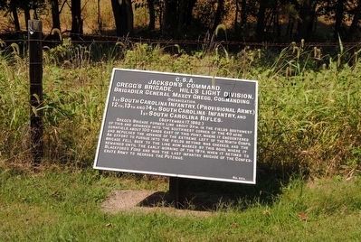
Gregg's Brigade formed line about 3 p.m. in the fields southwest of this and advanced into the southwest corner of the 40 acre cornfield, about 100 yards east of this point, where it encountered and repulsed the advance of the extreme left of the Ninth Corps. An effort to pursue into the fields beyond was checked, and the brigade fell back to the line now marked by this road, where it remained until the early morning of the 19th, when it retired to Blackford's Ford and was the last infantry brigade of the Confederate Army to recross the Potomac.
Erected by Antietam Battlefield Board. (Marker Number 354.)
Topics and series. This historical marker is listed in this topic list: War, US Civil. In addition, it is included in the Antietam Campaign War Department Markers series list. A significant historical year for this entry is 1862.
Location. 39° 26.845′ N, 77° 44.492′ W. Marker is near Sharpsburg, Maryland, in Washington County. Marker is on Branch Avenue, on the right when traveling south. Touch for map. Marker is in this post office area: Sharpsburg MD 21782, United States of America. Touch for directions.
Other nearby markers. At least 8 other markers are within walking distance of this marker. Battery A, 5th U.S. Artillery (within shouting distance of this marker); Battery G, 4th U.S. Artillery (within shouting distance of this marker); Battery E, 2nd U.S. Artillery (within shouting distance of this marker); Battery E, 4th U.S. Artillery (within shouting distance of this marker); Ninth Army Corps (within shouting distance of this marker); Brigadier General L. O'B. Branch (within shouting distance of this marker); Rodman's Division, Ninth Army Corps (within shouting distance of this marker); Archer's Brigade (about 500 feet away, measured in a direct line). Touch for a list and map of all markers in Sharpsburg.
Also see . . .
1. Antietam Battlefield. National Park Service site. (Submitted on March 30, 2008, by Craig Swain of Leesburg, Virginia.)
2. Gregg's Brigade, A.P. Hill's Division. General Gregg was killed in action at Fredericksburg in December 1862, before he could write an official report of the battle of Antietam. Instead his adjutant, Col. Samuel McGowan, completed the report. (Submitted on March 30, 2008, by Craig Swain of Leesburg, Virginia.)
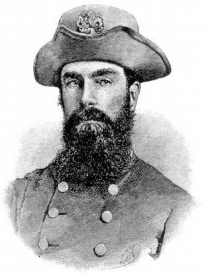
3. Maxcy Gregg. Maxcy Gregg (August 1, 1814 – December 15, 1862) was a lawyer, soldier in the United States Army during the Mexican-American War, and a Confederate brigadier general during the American Civil War who was mortally wounded at the Battle of Fredericksburg and died two days later. (Submitted on October 13, 2015, by Brian Scott of Anderson, South Carolina.)
Photographed By Craig Swain, March 29, 2008
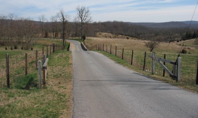
6. Gregg's Brigade Enters the Forty Acre Cornfield
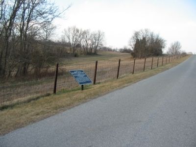
Looking to the east from the section of Branch Avenue at the south edge of the park. The southwest corner of the Forty Acre Cornfield stood roughly from the corner of Branch Avenue in the center here. Gregg's Brigade entered the cornfield from the southwest, heading to the northeast. In the camera's view from the right foreground into the cornfield in the left background.
Photographed By Craig Swain, February 9, 2008
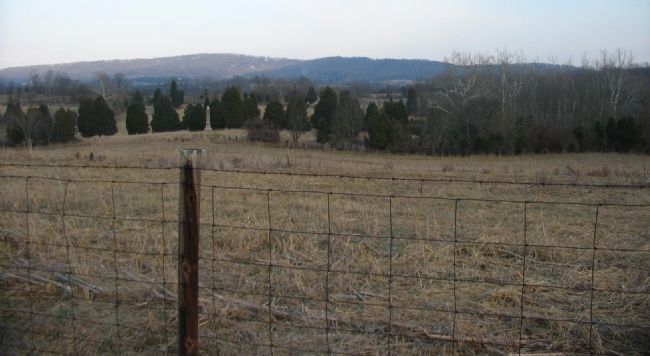
7. The "Other" Cornfield of Antietam
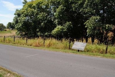
Receiving less attention from historians is the Forty Acre Cornfield in the southern section of the battlefield. Over the span of several hours, the sides contested this ground, every bit as bloody as the more famous cornfield in the northern section of the battlefield. From this view from Branch Avenue, the cornfield extended across the low ground toward the ridge line in the distance. Gregg's Brigade entered the cornfield from the southwest and attempted to turn the Federal defenses guarding the Burnside Bridge. Federal artillery on the ridge line in the distance helped to stop the Confederate advance.
Credits. This page was last revised on October 23, 2017. It was originally submitted on March 30, 2008, by Craig Swain of Leesburg, Virginia. This page has been viewed 973 times since then and 17 times this year. Photos: 1. submitted on March 30, 2008, by Craig Swain of Leesburg, Virginia. 2. submitted on October 13, 2015, by Brian Scott of Anderson, South Carolina. 3. submitted on March 30, 2008, by Craig Swain of Leesburg, Virginia. 4, 5. submitted on October 13, 2015, by Brian Scott of Anderson, South Carolina. 6, 7. submitted on March 30, 2008, by Craig Swain of Leesburg, Virginia.
