Near Dayton in Greene County, Ohio — The American Midwest (Great Lakes)
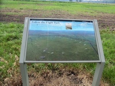
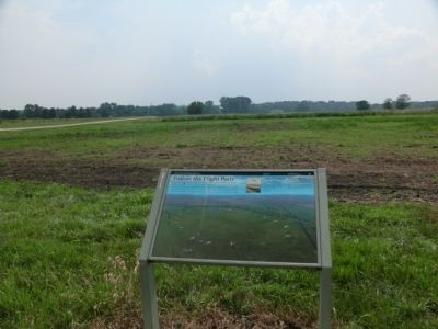
Follow the Flight Path
Huffman Prairie Flying Field
— Dayton Aviation Heritage National Historic Park —
On the first of three trials we found that we had started a circle on too large a radius to keep within the boundaries of the small field in which we were operating. Accordingly, a landing was made each time, without accident, merely to avoid passing beyond the boundaries of the field.
Wilbur Wright
Walking the Flight Path…
takes 30 minutes to get back to the main parking areas near Simms Station.
The path is regularly mowed, but not hard-surfaced. Wheelchair users should budget more time.
Erected by National Park Service.
Topics. This historical marker is listed in this topic list: Air & Space.
Location. 39° 48.267′ N, 84° 3.667′ W. Marker is near Dayton, Ohio, in Greene County. Marker is on Pylon Road, 0.3 miles south of Marl Road, on the right when traveling south. Access is from Highway 444 at Communications Blvd. Visit the Interpretive Center first to get driving directions. Touch for map. Marker is in this post office area: Dayton OH 45433, United States of America. Touch for directions.
Other nearby markers. At least 8 other markers are within walking distance of this marker. A Starting Device (within shouting distance of this marker); They Had Done It! (within shouting distance of this marker); Miss that Tree! (about 400 feet away, measured in a direct line); Trials in an Old Swamp (approx. 0.2 miles away); Flying Field to Air Force Base (approx. 0.2 miles away); The First Airport (approx. 0.2 miles away); Huffman Prairie Flying Field (approx. 0.2 miles away); a different marker also named Huffman Prairie Flying Field (approx. ¼ mile away). Touch for a list and map of all markers in Dayton.
Credits. This page was last revised on October 4, 2022. It was originally submitted on August 13, 2013, by Don Morfe of Baltimore, Maryland. This page has been viewed 460 times since then and 10 times this year. Last updated on April 28, 2021, by Craig Baker of Sylmar, California. Photos: 1, 2. submitted on August 13, 2013, by Don Morfe of Baltimore, Maryland. • J. Makali Bruton was the editor who published this page.

