Mount Pleasant in Charleston County, South Carolina — The American South (South Atlantic)
Rice Trunk
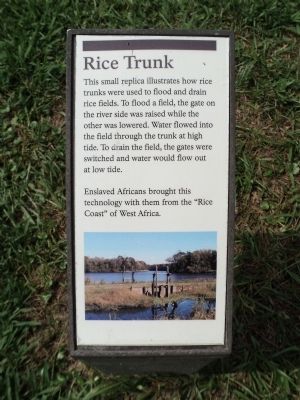
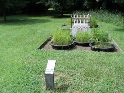
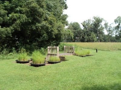
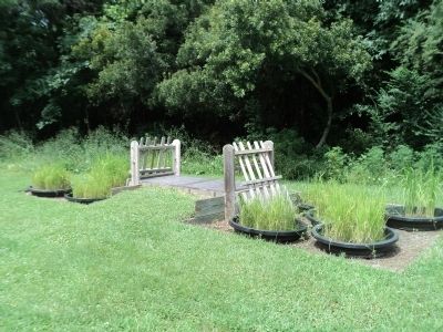
This small replica illustrates how rice trunks were used to flood and drain rice fields. To flood a field, the gate on the river side was raised while the other was lowered. Water flowed into the field through the trunk at high tide. To drain the field, the gates were switched and water would flow out at low tide. Enslaved Africans brought this technology with them from the “Rice Coast” of West Africa.
Topics. This historical marker is listed in this topic list: Agriculture.
Location. 32° 50.771′ N, 79° 49.549′ W. Marker is in Mount Pleasant, South Carolina, in Charleston County. Marker can be reached from Long Point Road, on the left when traveling west. Marker is located on a walking trail a the Charles Pinckney National Historic Site. Touch for map. Marker is at or near this postal address: 1254 Long Point Road, Mount Pleasant SC 29464, United States of America. Touch for directions.
Other nearby markers. At least 8 other markers are within walking distance of this marker. Indigo and Its Beginnings in South Carolina (within shouting distance of this marker); Snee Farm Historic Structures (about 300 feet away, measured in a direct line); Charles Pinckney - Statesman (about 300 feet away); Lowcountry Waterways (about 400 feet away); Snee Farm (about 400 feet away); Archeology (about 500 feet away); Slave Community (about 500 feet away); Charles Pinckney (about 600 feet away). Touch for a list and map of all markers in Mount Pleasant.
More about this marker. A picture of a rice trunk appears at the bottom of the marker.
Also see . . . Charles Pinckney National Historic Site. National Park Service website. (Submitted on August 16, 2013, by Bill Coughlin of Woodland Park, New Jersey.)
Credits. This page was last revised on June 16, 2016. It was originally submitted on August 16, 2013, by Bill Coughlin of Woodland Park, New Jersey. This page has been viewed 749 times since then and 48 times this year. Photos: 1, 2, 3, 4. submitted on August 16, 2013, by Bill Coughlin of Woodland Park, New Jersey.


