Tybee Island in Chatham County, Georgia — The American South (South Atlantic)
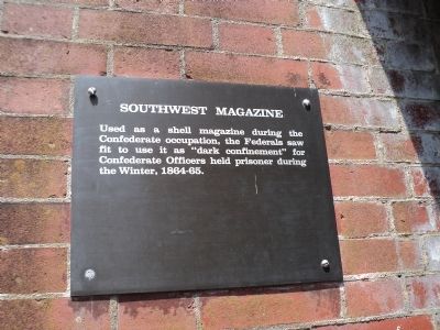
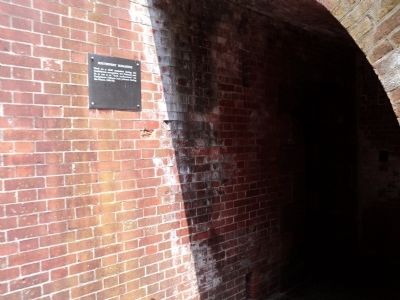
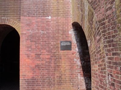
Southwest Magazine
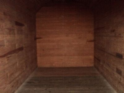
Used as a shell magazine during the Confederate occupation, the Federals saw fit to use it as “dark confinement” for Confederate Officers held prisoner during the Winter, 1864-65.
Topics. This historical marker is listed in these topic lists: Forts and Castles • War, US Civil.
Location. 32° 1.594′ N, 80° 53.44′ W. Marker is on Tybee Island, Georgia, in Chatham County. Marker can be reached from Fort Pulaski Road, on the right when traveling north. Marker is located inside Fort Pulaski. Touch for map. Marker is in this post office area: Tybee Island GA 31328, United States of America. Touch for directions.
Other nearby markers. At least 8 other markers are within walking distance of this marker. Southwest Bastion (here, next to this marker); Parrott Rifle (a few steps from this marker); Store House (within shouting distance of this marker); Fort at Play (within shouting distance of this marker); Through the Thick Brick Wall (within shouting distance of this marker); Engineering Dry Land (within shouting distance of this marker); Federal Siege Batteries (within shouting distance of this marker); A Devastating Bombardment (within shouting distance of this marker). Touch for a list and map of all markers in Tybee Island.
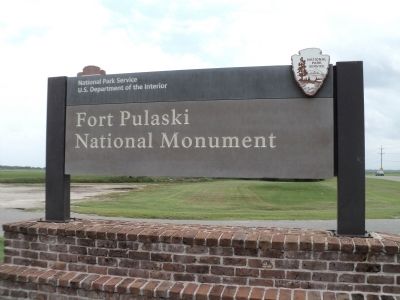
Also see . . . Fort Pulaski National Monument. National Park Service website. (Submitted on August 17, 2013, by Bill Coughlin of Woodland Park, New Jersey.)
Credits. This page was last revised on June 16, 2016. It was originally submitted on August 17, 2013, by Bill Coughlin of Woodland Park, New Jersey. This page has been viewed 433 times since then and 15 times this year. Photos: 1, 2, 3, 4, 5. submitted on August 17, 2013, by Bill Coughlin of Woodland Park, New Jersey.
