Tybee Island in Chatham County, Georgia — The American South (South Atlantic)
Southwest Bastion
Fort Pulaski
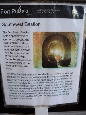
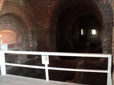
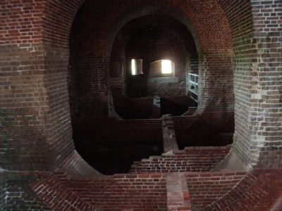
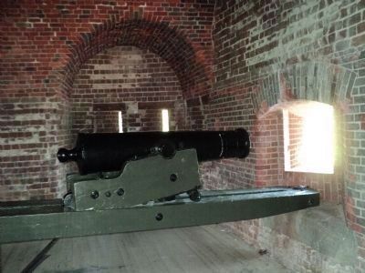
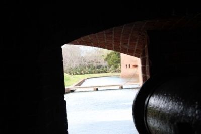
The Southwest Bastion held a special type of cannon to protect the fortís entrance. These cannon, known as 24-pounder flank defense howitzers, were aimed at the drawbridge. Today, this area provides a cutaway view of the fortís upper foundations.
In 1895 a fire destroyed the wooden floors in front of you. At the time the fort was abandoned, so there was no need to replace the floors. Originally the open space below allowed for ventilation and air flow in an effort to keep out dampness and remove smoke from recently fired cannon. Brick piers extend up from a wooden grillage, today hidden by several layers of sediment. Below the grillage, wooden pilings extend up to 70 feet into the marshy terrain of Cockspur Island. The pilings, completely encased by mud, are not exposed to air and still remain in place today.
Erected by National Park Service.
Topics. This historical marker is listed in this topic list: Forts and Castles. A significant historical year for this entry is 1895.
Location. 32° 1.592′ N, 80° 53.437′ W. Marker is on Tybee Island, Georgia, in Chatham County. Marker can be reached from Fort Pulaski Road, on the right when traveling north. Marker is located inside Fort Pulaski National. Touch for map. Marker is in this post office area: Tybee Island GA 31328, United States of America. Touch for directions.
Other nearby markers. At least 8 other markers are within walking distance of this marker. Southwest Magazine (here, next to this marker); Store House (a few steps from this marker); Fort at Play (a few steps from this marker); Parrott Rifle (within shouting distance of this marker); Through the Thick Brick Wall (within shouting distance of this marker); Federal Siege Batteries (within shouting distance of this marker); A Devastating Bombardment (within shouting distance of this marker); Engineering Dry Land (within shouting distance of this marker). Touch for a list and map of all markers in Tybee Island.
More about this marker. A picture of the interior of the Southwest Bastion appears at the upper right of the marker.
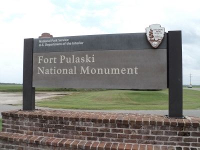
Also see . . . Fort Pulaski National Monument. National Park Service website. (Submitted on August 17, 2013, by Bill Coughlin of Woodland Park, New Jersey.)
Credits. This page was last revised on May 3, 2020. It was originally submitted on August 17, 2013, by Bill Coughlin of Woodland Park, New Jersey. This page has been viewed 427 times since then and 12 times this year. Photos: 1, 2, 3, 4, 5. submitted on August 17, 2013, by Bill Coughlin of Woodland Park, New Jersey. 6. submitted on May 4, 2014, by Byron Hooks of Sandy Springs, Georgia.
