Near Verdigris in Rogers County, Oklahoma — The American South (West South Central)
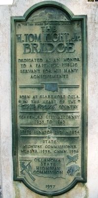
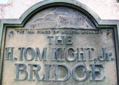
The H. Tom Kight, Jr. Bridge
The Van Guard of Modern Highways
faithful public servant
for his many achievements
Born at Claremore Okla,
in the heart of the
"Will Rogers" country
Claremore City Attorney
1935 to 1945
State Senator 1950-1954
State Highway Commissioner
Member 1955, Chmn. 1956
Erected 1957 by Oklahoma State Highway Commission.
Topics. This historical marker is listed in these topic lists: Bridges & Viaducts • Government & Politics. A significant historical year for this entry is 1935.
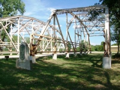
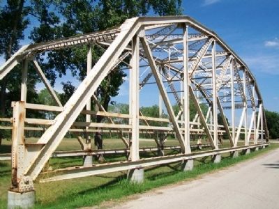
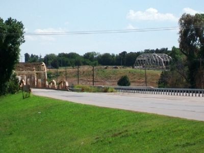
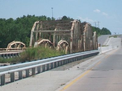
Location. 36° 12.702′ N, 95° 43.357′ W. Marker is near Verdigris, Oklahoma, in Rogers County. Marker is adjacent to the former Kight Bridge west spans, now removed to the Rogers Landing Public Use Area, east off of Oklahoma Route 66, between the Verdigris River and the McClellan-Kerr Navigation Channel. Touch for map. Marker is in this post office area: Claremore OK 74019, United States of America. Touch for directions.
Other nearby markers. At least 8 other markers are within 9 miles of this marker, measured as the crow flies. Old Mail Route (approx. 1.4 miles away); Blue Whale, Catoosa, Oklahoma (approx. 1.4 miles away); Route 66 Motels (approx. 8.1 miles away); George Washington (approx. 8.9 miles away); Oklahoma Military Academy Killed in Action Memorial (approx. 8.9 miles away); Oklahoma Military Academy War Memorial (approx. 9 miles away); Will Rogers Memorial (approx. 9.1 miles away); Will Rogers (approx. 9.1 miles away).
Also see . . . Oklahoma's Memorial Highways & Bridges. (Submitted on August 18, 2013, by William Fischer, Jr. of Scranton, Pennsylvania.)
Credits. This page was last revised on March 25, 2024. It was originally submitted on August 18, 2013, by William Fischer, Jr. of Scranton, Pennsylvania. This page has been viewed 701 times since then and 33 times this year. Photos: 1, 2, 3, 4, 5, 6. submitted on August 18, 2013, by William Fischer, Jr. of Scranton, Pennsylvania.
