Stanford in Lincoln County, Kentucky — The American South (East South Central)
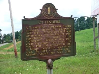
Ottenheim
Erected 1966 by Kentucky Historical Society-Kentucky Department of Highways. (Marker Number 955.)
Topics and series. This historical marker is listed in this topic list: Settlements & Settlers. In addition, it is included in the Kentucky Historical Society series list. A significant historical year for this entry is 1886.
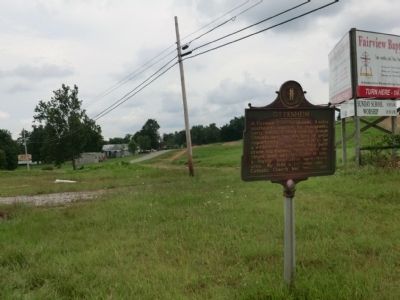
Location. 37° 27.35′ N, 84° 38.1′ W. Marker is in Stanford, Kentucky, in Lincoln County. Marker is at the intersection of U.S. 27 and Kentucky Route 643, on the right when traveling north on U.S. 27. Touch for map. Marker is in this post office area: Stanford KY 40484, United States of America. Touch for directions.
Other nearby markers. At least 8 other markers are within 5 miles of this marker, measured as the crow flies. Boneyville (approx. 4.6 miles away); Sportsman's Hill / Whitley House - 1785 (approx. 4.8 miles away); Sportsman Hill (approx. 4.8 miles away); The Cedars (approx. 4.8 miles away); Beginning of Horse Racing in Kentucky (approx. 4.9 miles away); Celebration (approx. 4.9 miles away); A Little Bit to Eat at the Race (approx. 4.9 miles away); The Legacy of Sportsman’s Hill at Crab Orchard (approx. 4.9 miles away). Touch for a list and map of all markers in Stanford.
Credits. This page was last revised on June 16, 2016. It was originally submitted on August 18, 2013, by Don Morfe of Baltimore, Maryland. This page has been viewed 465 times since then and 42 times this year. Photos: 1, 2. submitted on August 18, 2013, by Don Morfe of Baltimore, Maryland. • Al Wolf was the editor who published this page.

