West Ashley in Charleston in Charleston County, South Carolina — The American South (South Atlantic)
Postponed Aspirations
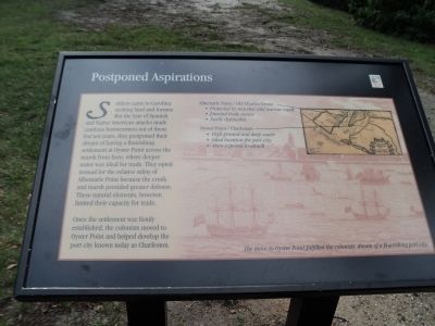
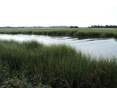
Settlers came to Carolina seeking land and fortune. But fear of Spanish and Native American attacks made cautious businessmen out of them. For ten years, they postponed their dream of having a flourishing settlement at Oyster Point across the marsh from here, where deeper water was ideal for trade. They opted instead for the relative safety of Albemarle Point because the creek and marsh provided greater defense. These natural elements, however, limited their capacity for trade.
Once the settlement was firmly established, the colonists moved to Oyster Point and helped develop the port city known today as Charleston.
Topics. This historical marker is listed in these topic lists: Colonial Era • Settlements & Settlers.
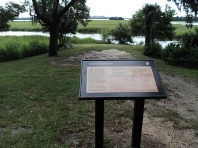
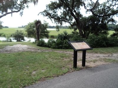
Location. 32° 48.055′ N, 79° 58.959′ W. Marker is in Charleston, South Carolina, in Charleston County. It is in West Ashley. Marker can be reached from Old Town Plantation Road. Marker is located on the History Trail at Charles Towne Landing. Touch for map. Marker is at or near this postal address: 1500 Old Towne Road, Charleston SC 29407, United States of America. Touch for directions.
Other nearby markers. At least 8 other markers are within walking distance of this marker. Trade, Profits and Support (within shouting distance of this marker); The Adventure, Trading Ketch (within shouting distance of this marker); Ship Shaping (within shouting distance of this marker); Seized! (within shouting distance of this marker); Harnessing the Wind (within shouting distance of this marker); On the Edge of an Empire (about 300 feet away, measured in a direct line); A Common Lodging (about 600 feet away); Mixed Results (about 600 feet away). Touch for a list and map of all markers in Charleston.
More about this marker. The background of the marker features a picture of ships near the city of Charleston. It has a caption of “The move to Oyster Point fulfilled the colonists’ dream of a flourishing port city.”
A map of the vicinity in the upper right of the marker compares the two sites. The caption is as follows:
“Albemarle Point / Old Charles Towne
• Protected by marshes and narrow creek
• Limited trade access
• Easily defensible
Oyster Point / Charleston
• High ground and deep water
• Ideal location for port city
• More exposed to attack”
Credits. This page was last revised on February 16, 2023. It was originally submitted on August 19, 2013, by Bill Coughlin of Woodland Park, New Jersey. This page has been viewed 394 times since then and 9 times this year. Photos: 1, 2, 3, 4. submitted on August 19, 2013, by Bill Coughlin of Woodland Park, New Jersey.


