West Ashley in Charleston in Charleston County, South Carolina — The American South (South Atlantic)
A Common Lodging
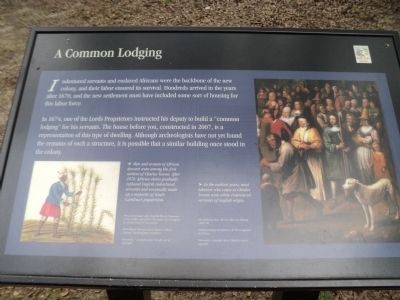
Indentured servants and enslaved Africans were the backbone of the new colony, and their labor ensured its survival. Hundreds arrived in the years after 1670, and the new settlement must have included some sort of housing for this labor force.
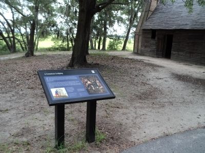
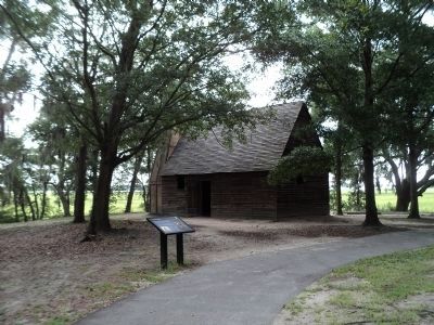
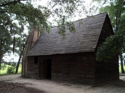
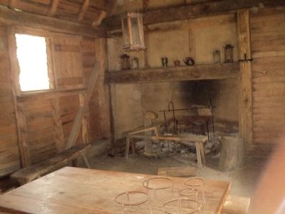
In 1674, one of the Lords Proprietors instructed his deputy to build a “common lodging” for his servants. The house before you, constructed in 2007, is a representation of this type of dwelling. Although archeologists have not yet found the remains of such a structure, it is possible that a similar building once stood in the colony.
Topics. This historical marker is listed in these topic lists: African Americans • Colonial Era • Settlements & Settlers. A significant historical year for this entry is 1670.
Location. 32° 48.146′ N, 79° 58.963′ W. Marker is in Charleston, South Carolina, in Charleston County. It is in West Ashley. Marker can be reached from Old Town Plantation Road. Marker is located on the History Trail at Charles Towne Landing. Touch for map. Marker is at or near this postal address: 1500 Old Towne Road, Charleston SC 29407, United States of America. Touch for directions.
Other nearby markers. At least 8 other markers are within walking distance of this marker. Crime & Punishment: “Tyed to the Usual Tree” (a few steps from this marker); On the Edge of an Empire (within shouting distance of this marker); Trade, Profits and Support (about 400 feet away, measured in a direct line); Protecting the Colony – The Palisade Wall (about 500 feet away); Mixed Results (about 500 feet away); Postponed Aspirations (about 600 feet away); Seeking Wealth, Sowing Servitude (about 600 feet away); Ship Shaping (about 600 feet away). Touch for a list and map of all markers in Charleston.
More about this marker. A picture on the right of the marker has a caption of “In the earliest years, most laborers who came to Charles Towne were white indentured servants of English origin.”
The left of the marker features a picture of a black man cutting sugar cane and includes the caption “Men and women of African descent were among the first settlers of Charles Towne. After 1672, African slaves gradually replaced English indentured servants and eventually made up a majority of South Carolina’s population.”
Credits. This page was last revised on February 16, 2023. It was originally submitted on August 19, 2013, by Bill Coughlin of Woodland Park, New Jersey. This page has been viewed 546 times since then and 18 times this year. Photos: 1, 2, 3, 4, 5. submitted on August 19, 2013, by Bill Coughlin of Woodland Park, New Jersey.
