Point of Rocks in Sweetwater County, Wyoming — The American West (Mountains)
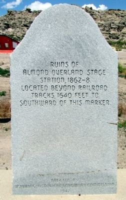
Almond Overland Stage Station
Almond Overland Stage
Station, 1862-8
Located Beyond Railroad
Tracks 1640 Feet To
Southward Of This Marker
Erected 1947 by Wyoming Historical Landmark Commission.
Topics and series. This historical marker is listed in this topic list: Roads & Vehicles. In addition, it is included in the Overland Trail series list. A significant historical year for this entry is 1640.
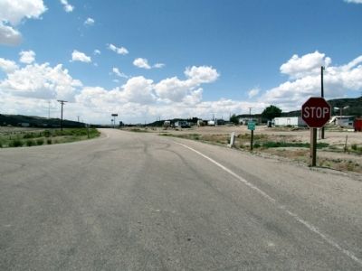
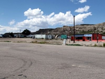
Location. 41° 40.764′ N, 108° 46.935′ W. Marker is in Point of Rocks, Wyoming, in Sweetwater County. Marker is on I-80 Service Road North (State Highway 377), on the left when traveling east. Marker can be reached by exiting I-80 at Exit 130 and driving north. Touch for map. Marker is in this post office area: Point of Rocks WY 82942, United States of America. Touch for directions.
Other nearby markers. At least 8 other markers are within 12 miles of this marker, measured as the crow flies. Overland Stage Route (about 700 feet away, measured in a direct line); Point of Rocks Stage Station (approx. half a mile away); Point of Rocks (approx. 0.6 miles away); An Unsolved Mystery (approx. 0.6 miles away); Immigrants (approx. 11.2 miles away); Working in the Mines (approx. 11.2 miles away); Town Development (approx. 11.2 miles away); Opening the Mines (approx. 11.2 miles away). Touch for a list and map of all markers in Point of Rocks.
Also see . . . Point of Rocks (Almond) Stage Station. From the Wyoming State Historical Society. (Submitted on August 22, 2013, by Duane Hall of Abilene, Texas.)
Additional commentary.
1. Visiting the Station
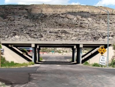
The Almond or Point of Rocks Overland Stage Station remains are around 3/4 mile from the marker. To visit the structure, drive south underneath the freeway to the I-80 service road on the south side. Continue on this road until you reach Black Buttes Road. Turn left on Black Buttes Road, drive over the railroad tracks, and the station will be on your left shortly after you cross Bitter Creek.
— Submitted August 22, 2013, by Duane Hall of Abilene, Texas.
Credits. This page was last revised on June 16, 2016. It was originally submitted on August 20, 2013, by Duane Hall of Abilene, Texas. This page has been viewed 664 times since then and 15 times this year. Photos: 1, 2, 3, 4. submitted on August 20, 2013, by Duane Hall of Abilene, Texas.


