West Ashley in Charleston in Charleston County, South Carolina — The American South (South Atlantic)
The Search Goes On
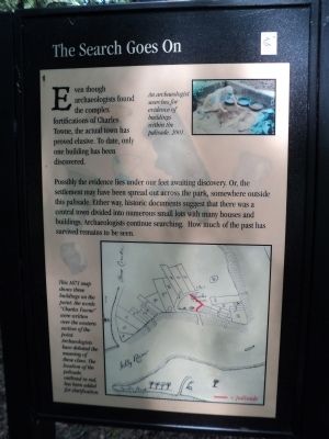
Even though archaeologists found the complex fortifications of Charles Towne, the actual town has proved elusive. To date, only one building has been discovered.
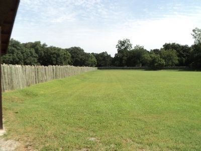
Possibly the evidence lies under our feet awaiting discovery. Or, the settlement may have been spread out across the park, somewhere outside this palisade. Either way, historic documents suggest that there was a central town divided into numerous small lots with many houses and buildings. Archaeologists continue searching. How much of the past has survived remains to be seen.
Topics. This historical marker is listed in these topic lists: Colonial Era • Settlements & Settlers.
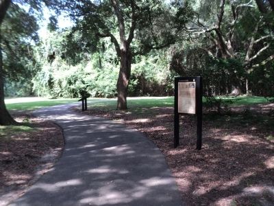
Location. 32° 48.199′ N, 79° 59.134′ W. Marker is in Charleston, South Carolina, in Charleston County. It is in West Ashley. Marker can be reached from Old Town Plantation Road. Marker is located on the History Trail at Charles Towne Landing. Touch for map. Marker is at or near this postal address: 1500 Old Towne Road, Charleston SC 29407, United States of America. Touch for directions.
Other nearby markers. At least 8 other markers are within walking distance of this marker. In Trust (a few steps from this marker); 300th Anniversary of the Settlement of Charles Towne (within shouting distance of this marker); Stained Dirt?! (within shouting distance of this marker); Ghost Structure (within shouting distance of this marker); A Temporary Home? (about 300 feet away, measured in a direct line); Buildings “All of Wood”? (about 300 feet away); Hints of Slave Row (about 300 feet away); Seeking Wealth, Sowing Servitude (about 300 feet away). Touch for a list and map of all markers in Charleston.
More about this marker. A photo in the upper right of the marker depicts “An archaeologist search[ing] for evidence of buildings within the palisade, 2001.”
A map of the Charles Towne settlement appears at the bottom of the marker. It has a caption of “This 1671 map shows three buildings on the point; the words ‘Charles Towne’ were written over the western section of the point. Archaeologists have debated the meaning of these clues. The location of the palisade, outlined in red, has been added for clarification.”
Credits. This page was last revised on February 16, 2023. It was originally submitted on August 20, 2013, by Bill Coughlin of Woodland Park, New Jersey. This page has been viewed 455 times since then and 11 times this year. Photos: 1, 2, 3. submitted on August 20, 2013, by Bill Coughlin of Woodland Park, New Jersey.


