Near Clear Spring in Washington County, Maryland — The American Northeast (Mid-Atlantic)
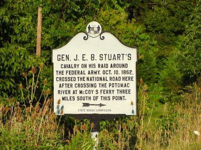
Gen. J. E. B. Stuart’s
Erected by State Roads Commission.
Topics. This historical marker is listed in this topic list: War, US Civil. A significant historical year for this entry is 1862.
Location. 39° 38.902′ N, 77° 58.992′ W. Marker is near Clear Spring, Maryland, in Washington County. Marker is at the intersection of National Pike (U.S. 40) and Cove Road, on the right when traveling west on National Pike. Touch for map. Marker is in this post office area: Clear Spring MD 21722, United States of America. Touch for directions.
Other nearby markers. At least 5 other markers are within 3 miles of this marker, measured as the crow flies. The Federal Signal Station (approx. 0.8 miles away); Fort Frederick (approx. 1.1 miles away); Lancelot Jacques (approx. 1.9 miles away); Veterans Memorial (approx. 2.4 miles away); The National Road (approx. 2½ miles away).
Additional keywords. Chambersburg Raid
Photographed By J. J. Prats, August 5, 2006
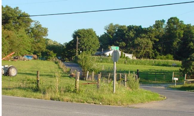
3. Cove Road
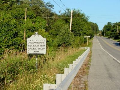
This is the country lane between the National Road and McCoy's Ferry. The National Road is in the foreground. Today it is interrupted by Interstate I-70 1½ miles south. There a frontage road jogs east to Boyd Road. Take Boyd Road under I-70, turn right on Big Pool Road and left on McCoy's Ferry Road to continue retracing General Stuart's ride.
Credits. This page was last revised on July 14, 2019. It was originally submitted on November 12, 2006, by J. J. Prats of Powell, Ohio. This page has been viewed 2,289 times since then and 37 times this year. Photos: 1, 2, 3. submitted on November 12, 2006, by J. J. Prats of Powell, Ohio. 4, 5. submitted on January 13, 2009, by Robert H. Moore, II of Winchester, Virginia.
