Croom in Prince George's County, Maryland — The American Northeast (Mid-Atlantic)
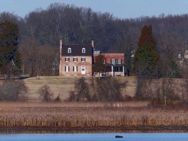
Mount Calvert Federal Period Plantation House
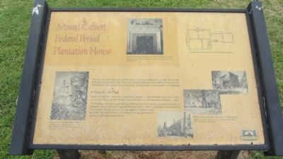
Clues to the Past
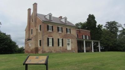
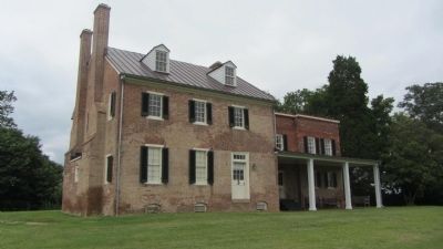
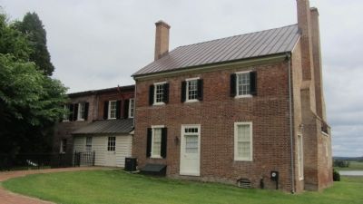
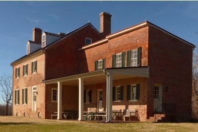
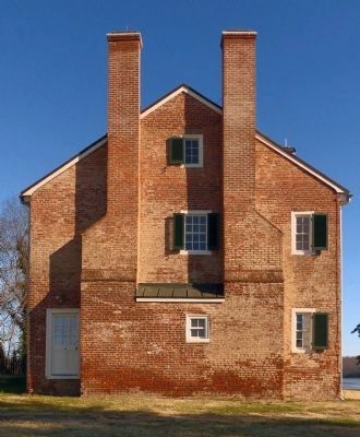
Notice the different colors of brick and mortar, and the remnants of plaster and paint on the expterior walls. These and other architecture clues tell us how the house has changed over time.
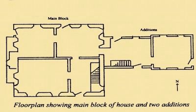
The building was constructed in three different sections, including a main block and two additions. The eastern wing was probably built before 1800 as a detached kitchen and was interjoined to the main house. The damage to the additions was restored with modern brick. Elsewhere, you can see traces of former porches and shed additions.
Topics. This historical marker is listed in these topic lists: Colonial Era • Settlements & Settlers. A significant historical year for this entry is 1800.
Location. 38° 47.102′ N, 76° 42.881′ W. Marker is in Croom, Maryland, in Prince George's County. Marker can be reached from Mount Calvert Road, 0.4 miles east of McClure Road. Marker is in the Mount Calvert Historical and Archaeological Park, about 200 feet east of the parking area. Touch for map. Marker is in this post office area: Upper Marlboro MD 20772, United States of America. Touch for directions.
Other nearby markers. At least 8 other markers are within walking distance of this marker. Billingsley's Point (within shouting distance of this marker); Explosive Scene (within shouting distance of this marker); African-Americans at Mount Calvert (within shouting distance of this marker); Mount Calvert Manor (within shouting distance of this marker); The War of 1812 and the Chesapeake Flotilla (within shouting distance of this marker); Chesapeake Beach Railway (within shouting distance of this marker); Mount Calvert Historical and Archaeological Park (about 300 feet away, measured in a direct line); Mount Calvert, Early Town (about 500 feet away). Touch for a list and map of all markers in Croom.
Credits. This page was last revised on May 26, 2021. It was originally submitted on September 1, 2013, by F. Robby of Baltimore, Maryland. This page has been viewed 834 times since then and 45 times this year. Last updated on December 8, 2018, by Allen C. Browne of Silver Spring, Maryland. Photos: 1, 2, 3, 4. submitted on September 1, 2013, by F. Robby of Baltimore, Maryland. 5, 6, 7, 8, 9. submitted on February 6, 2015, by Allen C. Browne of Silver Spring, Maryland. • Andrew Ruppenstein was the editor who published this page.
