Near Carthage in Smith County, Tennessee — The American South (East South Central)
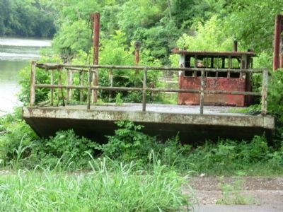
Rome Ferry
Hot Pursuit
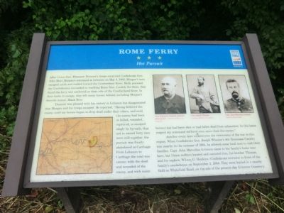
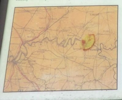
Dumont was pleased with his victory in Lebanon but disappointed that Morgan and his troops escaped. He reported, “Having followed the enemy until my horses began to drop dead under their riders, and until the enemy had been so killed, wounded, captured, or escaped singly by byroads, that not to exceed forty men were still together, the pursuit was finally abandoned at Carthage. From Lebanon to Carthage the road was strewn with the dead and wounded of the enemy, and with many horses that had been shot or had fallen dead from exhaustion. In this latter respect my command suffered even more than the enemy.”
Another event here underscores the viciousness of the war in this region. When Confederate Gen. Joseph Wheelerís 4th Tennessee Cavalry was nearby in the summer of 1864, he allowed some local men to visit their families. Capt. John Marcellus Grissum came to his familyís home near here, but Union soldiers located and executed him, his brother Thomas, and his nephew, Wilson G. Hankins (Confederate recruits) in front of the familyís smokehouse on September 3, 1864. They were buried in a nearby field on Whitefield Road, on the site of the present-day Grissum Cemetery.
(Inscription under the photos in the upper right)
Gen. Ebenezer Dumont, postwar photograph, - Courtesy Library of Congress.
Gen. Joseph Wheeler, - Courtesy Library of Congress
Capt. John Marcellus Grissum, - Courtesy Library of Congress
Erected by Tennessee Civil War Trails.
Topics and series. This historical marker is listed in this topic list: War, US Civil. In addition, it is included in the Tennessee Civil War Trails series list. A significant historical month for this entry is May 1863.
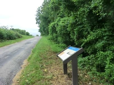
Location. 36° 15.75′ N, 86° 4.217′ W. Marker is near Carthage, Tennessee, in Smith County. Marker is on Lebanon Highway (U.S. 70) west of Whitefield Lane, on the right when traveling west. Touch for map. Marker is in this post office area: Carthage TN 37030, United States of America. Touch for directions.
Other nearby markers. At least 8 other markers are within 7 miles of this marker, measured as the crow flies. DeFord Bailey (approx. 2.9 miles away); Morgan's Ohio Raid (approx. 5.4 miles away); Captain James Bradley (approx. 6.1 miles away); Tilman Dixon
(approx. 6.6 miles away); Smith County Courthouse Square (approx. 6.6 miles away); Smith County Veterans Memorial (approx. 6.6 miles away); Cordell Hull Memorial Bridge (approx. 6.6 miles away); a different marker also named DeFord Bailey (approx. 6.6 miles away). Touch for a list and map of all markers in Carthage.
Credits. This page was last revised on June 16, 2016. It was originally submitted on September 3, 2013, by Don Morfe of Baltimore, Maryland. This page has been viewed 871 times since then and 44 times this year. Photos: 1, 2, 3, 4. submitted on September 3, 2013, by Don Morfe of Baltimore, Maryland. • Al Wolf was the editor who published this page.


