Pottsville in Schuylkill County, Pennsylvania — The American Northeast (Mid-Atlantic)
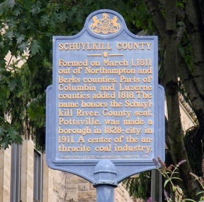
Schuylkill County
Erected 1982 by Pennsylvania Historical and Museum Commission.
Topics and series. This historical marker is listed in this topic list: Political Subdivisions. In addition, it is included in the Pennsylvania Historical and Museum Commission series list. A significant historical date for this entry is March 1, 1300.
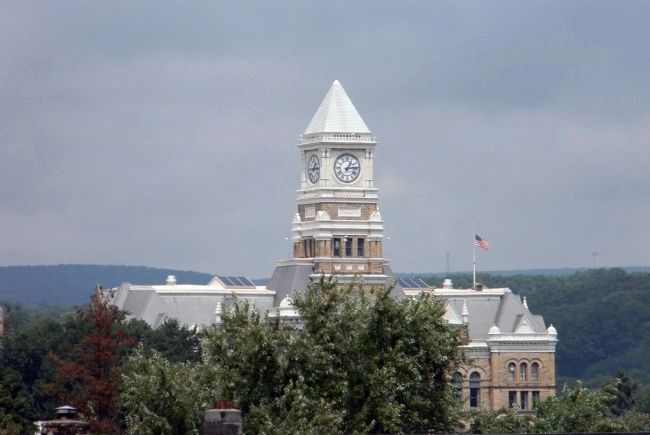
Location. 40° 41.254′ N, 76° 11.888′ W. Marker is in Pottsville, Pennsylvania, in Schuylkill County. Marker is at the intersection of West Laurel Boulevard and North 2nd Street, on the left when traveling east on West Laurel Boulevard. The marker is on the grounds of the Schuylkill County Courthouse. Touch for map. Marker is at or near this postal address: 401 North 2nd Street, Pottsville PA 17901, United States of America. Touch for directions.
Other nearby markers. At least 8 other markers are within walking distance of this marker. General George A. Joulwan (about 300 feet away, measured in a direct line); Molly Maguire Executions (about 300 feet away); Pottsville Maroons (about 400 feet away); Pottsville Downtown Historic District (about 700 feet away); John Pott (about 700 feet away); Spanish War Veterans (approx. ¼ mile away); In Memory of the First Defenders and Nicholas Biddle (approx. ¼ mile away); Joseph L. Warne, M. D. (approx. 0.3 miles away). Touch for a list and map of all markers in Pottsville.
Also see . . . History | Schuylkill Chamber of Commerce. Schuylkill County's history is closely tied to the history of Anthracite coal. (Submitted on September 8, 2013, by PaulwC3 of Northern, Virginia.)
Credits. This page was last revised on January 20, 2020. It was originally submitted on September 7, 2013, by PaulwC3 of Northern, Virginia. This page has been viewed 658 times since then and 20 times this year. Photos: 1, 2, 3. submitted on September 8, 2013, by PaulwC3 of Northern, Virginia.


