Dover in Stewart County, Tennessee — The American South (East South Central)
Forrest's Escape
The Road to Nashville
— Battle of Fort Donelson —
In February 1862, Union Gen. Ulysses S. Grant attacked Forts Henry and Donelson on the Tennessee and Cumberland Rivers to take control of western Tennessee and Kentucky as well as the rivers. Grant captured Fort Henry on February 6, then approached Fort Donelson with his army on February 12. Flag Officer Andrew H. Foote's gunboats shelled in on the 14th. Confederate artillery repulsed the ironclads. Confederate Gen. John B. Floyd ordered a breakout from the fort for the next morning. At first successful, the Confederates retreated, and the Federals counterattacked. On February 16, part of Floyd's command escaped in boats. The remainder yielded to Grant's demand for “unconditional surrender”.
(main text)
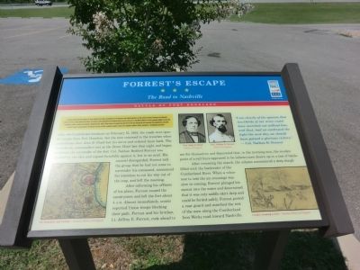
After the Confederate breakout on February 15, 1862, the roads were open for escape from Fort Donelson, but the men returned to the trenches when Confederate Gen. John B. Floyd lost his nerve and ordered them back. The Confederate commanders met at the Dover Hotel late that night and began to discuss the surrender of the fort. Col. Nathan Bedford Forrest was appalled by the idea and argued forcefully against it, but to no avail. His counsel disregarded, Forest told the group that he had not come to surrender his command, announced his intention to cut his way out of the trap, and left the meeting.
After informing his officers of his plans, Forrest roused the cavalrymen and left the fort about 4 A. M. Almost immediately, scouts reported Union troops blocking their path. Forrest and his brother, Lt Jeffrey E. Forrest, rode ahead to see for themselves and discovered that, in the morning mist, the wooden posts of a rail fence appeared to be infantrymen drawn up in a line of battle.
After resuming the march, the column encountered a deep slough filled with the backwater of the Cumberland River. When a volunteer to test the icy crossings was slow in coming, Forrest plunged his mount into the water and determined that it was only saddle-skirt deepand could be forded safely. Forrest posted a rear guard and marched the rest of the men along the Cumberland Iron Works road toward Nashville.
“I am clearly of the opinion that two-thirds of our army could have marched out without loss, and that, had we continued the fight the next day; we should have gained a glorious victory.” — Col. Nathan B. Forrest
(captions)
Ft. Donelson and vicinity — Courtesy Library of Congress
Gen. John B. Floyd Library of Congress
Gen. Nathan B. Forrest Library of Congress
Cavalry crossing a river — Courtesy Library of Congress
Erected by Tennessee Civil War Trails.
Topics and series. This historical marker is listed in this topic list: War, US Civil. In addition, it is included in the Tennessee Civil War Trails series list. A significant historical month for this entry is February 1862.
Location. Marker has been reported permanently removed. It was located near 36° 28.747′ N, 87° 51.995′ W. Marker was in Dover, Tennessee, in Stewart County. Marker could be reached from the intersection of Donelson Parkway (U.S. 79) and Moores Drive, on the left when traveling west. The marker is located on the grounds of the Stewart County Visitor Center. Touch for map. Marker was at or near this postal address: 117 Visitor Center Lane, Dover TN 37058, United States of America.
We have been informed that this sign or monument is no longer there and will not be replaced. This page is an archival view of what was.
Other nearby markers. At least 8 other markers are within walking distance of this location. 6-pounder Gun (approx. ¼ mile away); Porter's Battery (approx. ¼ mile away); Fort Donelson Confederate Monument (approx. 0.4 miles away); Confederate Monument (approx. 0.4 miles away); Union Camp (approx. half a mile away); Lauman's Brigade (approx. half a mile away); Graves' Battery (approx. half a mile away); Holding the Outer Lines (approx. half a mile away). Touch for a list and map of all markers in Dover.
Credits. This page was last revised on May 11, 2021. It was originally submitted on September 14, 2013, by Don Morfe of Baltimore, Maryland. This page has been viewed 1,046 times since then and 41 times this year. Last updated on May 10, 2021, by Shane Oliver of Richmond, Virginia. Photos: 1, 2. submitted on September 14, 2013, by Don Morfe of Baltimore, Maryland. • Devry Becker Jones was the editor who published this page.

