Near Lowell in Benton County, Arkansas — The American South (West South Central)
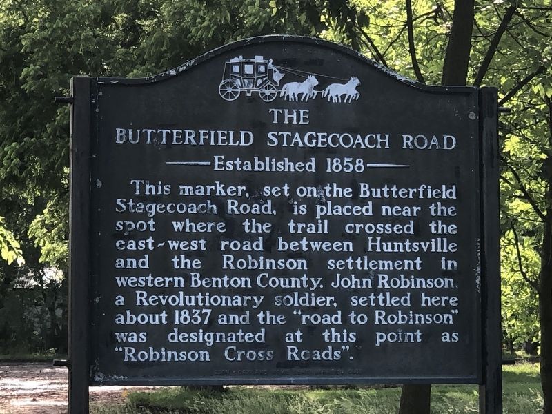
The Butterfield Stagecoach Road
Established 1858
Topics and series. This historical marker is listed in these topic lists: Patriots & Patriotism • Roads & Vehicles • Settlements & Settlers • War, US Revolutionary. In addition, it is included in the Butterfield Overland Mail series list. A significant historical year for this entry is 1837.
Location. 36° 15.471′ N, 94° 7.91′ W. Marker is near Lowell, Arkansas, in Benton County. Marker is at the intersection of Jackson Place and McClure Avenue (Route 923), on the right when traveling north on Jackson Place. Touch for map. Marker is at or near this postal address: 304 Jackson Place, Lowell AR 72745, United States of America. Touch for directions.
Other nearby markers. At least 8 other markers are within walking distance of this marker. Original Site of Bloomington (Mudtown) Arkansas (here, next to this marker); Service Station and Garage (a few steps from this marker); The Lowell Historical Museum (a few steps from this marker); City of Lowell (a few steps from this marker); Mudtown (within shouting distance of this marker); Evaporator Near School (within shouting distance of this marker); Old School on South Lincoln Street (within shouting distance of this marker); School House on McClure Street (within shouting distance of this marker). Touch for a list and map of all markers in Lowell.
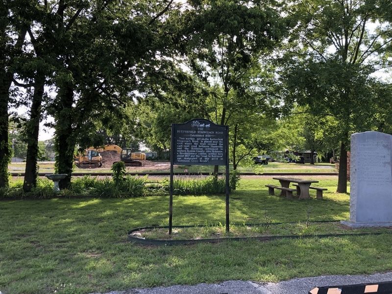
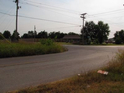
More about this marker. Originally, marker was near 36° 14.317′ N, 94° 6.924′ W., at the intersection of Old Wire Road and Apple Blossom Avenue, on the right when traveling north on Old Wire Road. It has been moved to the Lowell History Museum.
Credits. This page was last revised on June 3, 2023. It was originally submitted on September 23, 2013, by Lee Hattabaugh of Capshaw, Alabama. This page has been viewed 984 times since then and 45 times this year. Photos: 1. submitted on May 31, 2023, by Duane and Tracy Marsteller of Murfreesboro, Tennessee. 2. submitted on September 23, 2013, by Lee Hattabaugh of Capshaw, Alabama. 3. submitted on May 31, 2023, by Duane and Tracy Marsteller of Murfreesboro, Tennessee. 4. submitted on September 23, 2013, by Lee Hattabaugh of Capshaw, Alabama. • Al Wolf was the editor who published this page.


