Marina in Monterey County, California — The American West (Pacific Coastal)
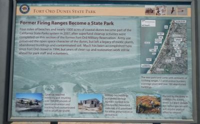
Former Firing Range Becomes a State Park
Fort Ord Dunes State Park
Photographed By Barry Swackhamer, September 15, 2013
1. Former Firing Range Becomes a State Park Marker
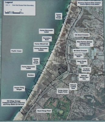
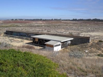
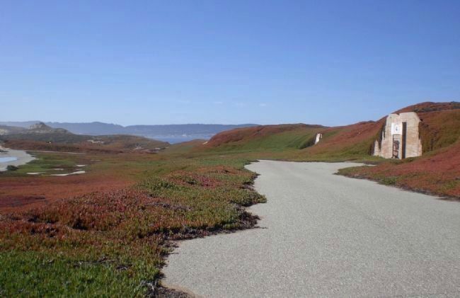
Captions: The new park land came with remnants of 15 firing ranges, 12 ammunition bunkers, a sewage plant and over 100 abandoned buildings. (upper right); Clean-up required removing and recycling over 700,000 pounds of spent ammunition and trucking lead contaminated soil to and offsite landfill. (bottom left); Military era buildings and ammo storage bunkers needed to be checked for hazardous materials and prioritized for either preservation or demolition. (bottom center); Planted by the Army to stabilize the dunes, exotic ice plants crowds out native species and will require years of effort to remove. (bottom right).
Erected by California State Parks.
Topics. This historical marker is listed in this topic list: Military.
Location. 36° 39.623′ N, 121° 49.29′ W. Marker is in Marina, California, in Monterey County. Marker can be reached from 8th Street. Touch for map. Marker is in this post office area: Marina CA 93933, United States of America. Touch for directions.
Other nearby markers. At least 8 other markers are within 5 miles of this marker, measured as the crow flies. Training to Defend America (a few steps from this marker); Welcome to Fort Ord Dunes State Park! (a few steps from this marker); Stilwell Hall: A Fond Memory (within shouting distance of this marker); A Coastal Attack the Army Couldn’t Stop (within shouting distance of this marker); a different marker also named A Coastal Attack the Army Couldn’t Stop (within shouting distance of this marker); Post 694 (approx. 2.9 miles away); Portola-Crespi Monument (approx. 4.1 miles away); Depots (approx. 5.1 miles away). Touch for a list and map of all markers in Marina.
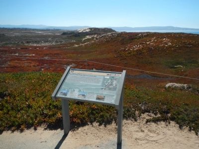
More about this marker. The marker is located in Fort Ord Dunes State Park near the old Stilwell Hall parking lot.
Also see . . . Fort Ord Dunes State Park. The California Department of Parks and Recreation's page for Fort Ord Dunes. (Submitted on September 30, 2013.)
Credits. This page was last revised on June 16, 2016. It was originally submitted on September 29, 2013, by Barry Swackhamer of Brentwood, California. This page has been viewed 879 times since then and 52 times this year. Photos: 1, 2, 3. submitted on September 29, 2013, by Barry Swackhamer of Brentwood, California. 4, 5. submitted on September 30, 2013. • Andrew Ruppenstein was the editor who published this page.
