Near McMinnville in Yamhill County, Oregon — The American West (Northwest)
Glacial Erratics
Oregon Geology
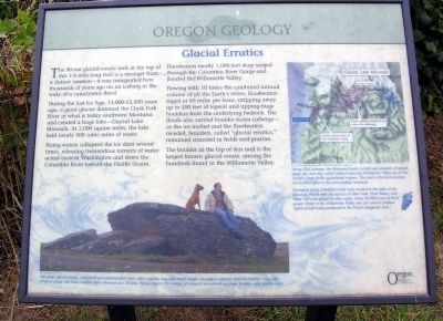
During the last Ice Age, 13,000-15,500 years ago, a giant glacier dammed the Clark Fork River in what is today southwest Montana and created a huge lake—Glacial Lake Missoula. At 3,000 square miles, the lake held nearly 500 cubic miles of water.
Rising waters collapsed the ice dam several times, releasing tremendous torrents of water across eastern Washington and down the Columbia River toward the Pacific Ocean. Floodwaters nearly 1,000 feet deep surged through the Columbia River Gorge and flooded the Williamette Valley.
Flowing with 10 times the combined annual volume of all the Earth's rivers, floodwaters raged at 60 miles per hour, stripping away up to 200 feet of topsoil and ripping huge boulders from the underlying bedrock. The floods also carried boulder-laden icebergs—as the ice melted and the floodwaters receded, boulders, called "glacial erratics," remained stranded in fields and prairies.
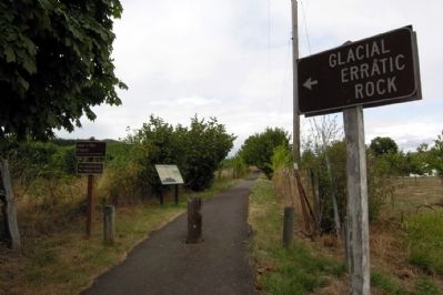
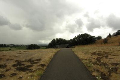
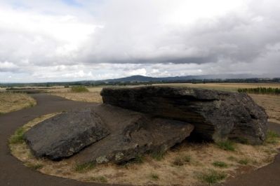
The boulder at the top of this trail is the largest known glacial erratic among the hundreds found in the Williametter Valley.
(Graphic Caption)
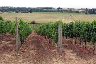
Along with icebergs, the Missoula Floods carried vast amounts of gravel, sand, silt, and clay, which helped make the Williamette Valley one of the nation's most fertile agricultural regions. The trail to the rock provides an excellent view of the surrounding vineyards.
Enologists (wine scientists) credit soils created in the wake of the Missoula Floods with the success of Pinot Noir, Pinot Blanc, and Pinot Gris wine grapes in this region. Some 40,000 acres of these grapes thrive in the Williamette Valley and are used to produced highly-prized wines produced in the French Burgundy style.
(Photograph Caption)
This large glacial erratic, composed of a metamorphic rock called argillite, was once much larger! Geologists estimate that the boulder originally weighed about 160 tons—visitors have removed over 70 tons. Please respect this vestige of Oregon's remarkable geologic history—take photos only!
Erected by Oregon Travel Information Council.
Topics and series. This historical marker is listed in this topic list: Natural Features. In addition, it is included in the Oregon Beaver Boards series list.
Location. 45° 8.258′ N, 123° 17.453′ W. Marker is near McMinnville, Oregon, in Yamhill County. Marker can be reached from SW Oldsville Road, 0.2 miles east of SW Dusty Drive, on the right when traveling west. Marker is located at trailhead of the Erratic Rock State Natural Site. Touch for map. Marker is in this post office area: McMinnville OR 97128, United States of America. Touch for directions.
Also see . . . Oregon Travel Experience - Glacial Erratics. (Submitted on January 12, 2018, by Douglass Halvorsen of Klamath Falls, Oregon.)
Credits. This page was last revised on February 11, 2018. It was originally submitted on September 30, 2013, by Duane Hall of Abilene, Texas. This page has been viewed 810 times since then and 23 times this year. Photos: 1, 2, 3, 4, 5. submitted on September 30, 2013, by Duane Hall of Abilene, Texas.
