Granite Falls in Yellow Medicine County, Minnesota — The American Midwest (Upper Plains)
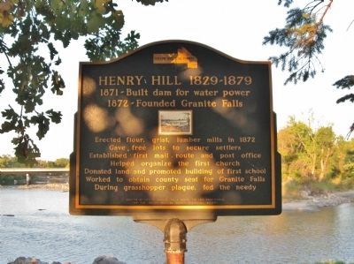
Henry Hill 1829-1879
1872 - Founded Granite Falls
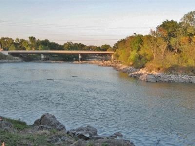
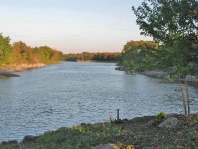
photo of dam
Erected by City of Granite Falls during the 1976 Bicentennial for the Yellow Medicine County Historical Society
Erected 1976 by the City of Granite Falls.
Topics. This historical marker is listed in this topic list: Settlements & Settlers. A significant historical year for this entry is 1871.
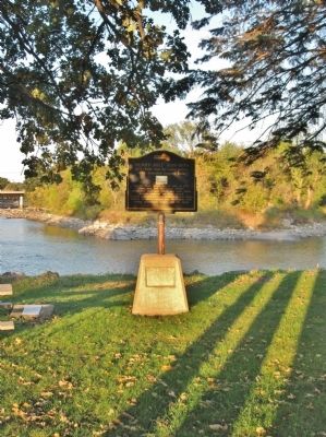
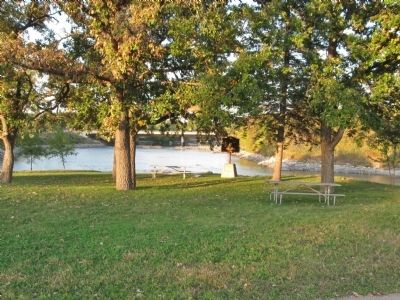
Location. 44° 48.229′ N, 95° 32.752′ W. Marker is in Granite Falls, Minnesota, in Yellow Medicine County. Marker can be reached from State Highway 67 east of State Highway 23, on the left when traveling east. Marker is by the Yellow Medicine County Historical Society Museum. Touch for map. Marker is at or near this postal address: 98 Minnesota State Highway 67 East, Granite Falls MN 56241, United States of America. Touch for directions.
Other nearby markers. At least 8 other markers are within 7 miles of this marker, measured as the crow flies. World's Oldest Rock (within shouting distance of this marker); Ancient Exposed Rocks (within shouting distance of this marker); The Andrew J. Volstead House (approx. half a mile away); a different marker also named Andrew J. Volstead House (approx. half a mile away); Votes for Women (approx. half a mile away); Former Site of the Granite Falls City Hall (approx. half a mile away); A Witness to Time (approx. 1.9 miles away); Yellow Medicine City (approx. 6˝ miles away). Touch for a list and map of all markers in Granite Falls.
Also see . . .
1. Granite Falls, Minnesota. Wikipedia entry. (Submitted on October 4, 2013.)
2. History of Yellow Medicine County, Minnesota. "Prior to 1849, Yellow Medicine County, was under federal jurisdiction and was officially known as a part of Wisconsin Territory." (Submitted on October 12, 2013, by Keith L of Wisconsin Rapids, Wisconsin.)
Credits. This page was last revised on August 6, 2021. It was originally submitted on October 4, 2013, by Keith L of Wisconsin Rapids, Wisconsin. This page has been viewed 601 times since then and 24 times this year. Photos: 1, 2, 3, 4, 5, 6. submitted on October 4, 2013, by Keith L of Wisconsin Rapids, Wisconsin.
