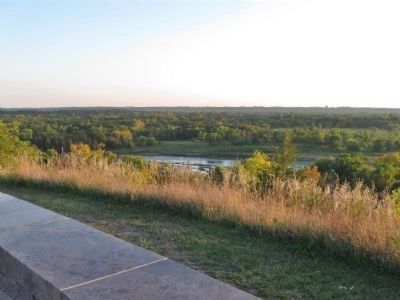
Near Granite Falls in Chippewa County, Minnesota — The American Midwest (Upper Plains)
A Witness to Time
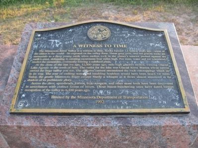
Inscription.
The Minnesota River Valley is a witness to time. Rocks formed 3.8 billion years ago — some of the oldest in the world — lie exposed on the valley floor. These grey, pink and red granite rocks are memorials to a fiery young earth when molten rocks in the planet's interior pushed against the earth's crust, deforming it, creating mountains four miles high. For eons, water and ice relentlessly eroded the mountains, eventually leaving a subdued plain.
At the close of the last ice age, 12,000 years ago, mile-high glaciers melted, forming Glacial Lake Agassiz to the north of here. The outlet for the lake was Glacial Lake Warren whose torrent carved the large valley you see. The abrasive current streamlined the rock outcroppings which lay in its way. The roar of rushing water and tumbling boulders would have been heard for miles. Today, the gentle Minnesota River creates barely a whisper as it flows almost unnoticed in the shadow of its prehistoric glory.
Across the river, spearheads, knives, hide-scrapers, and other stone tools have been discovered in association with extinct forms of bison. These bison-butchering sites have dated human occupation of the valley to 6,400 years ago.
1992
Erected 1992 by the Minnesota Department of Transportation.
Topics. This historical marker is listed in this topic list: Waterways & Vessels. A significant historical year for this entry is 1992.
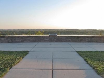
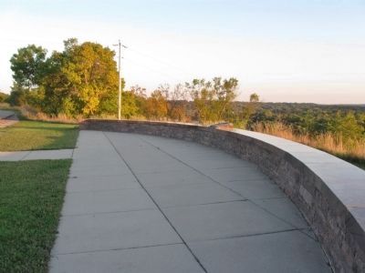
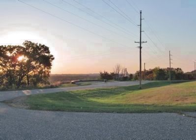
Location. 44° 47.845′ N, 95° 30.446′ W. Marker is near Granite Falls, Minnesota, in Chippewa County. Marker is on U.S. 212, 2.1 miles east of State Highway 67, on the right when traveling east. Marker is at a highway pull-off. Touch for map. Marker is in this post office area: Granite Falls MN 56241, United States of America. Touch for directions.
Other nearby markers. At least 8 other markers are within 5 miles of this marker, measured as the crow flies. Former Site of the Granite Falls City Hall (approx. 1.8 miles away); Votes for Women (approx. 1.8 miles away); Andrew J. Volstead House (approx. 1.8 miles away); a different marker also named The Andrew J. Volstead House (approx. 1.8 miles away); Henry Hill 1829-1879 (approx. 1.9 miles away); World's Oldest Rock (approx. 1.9 miles away); Ancient Exposed Rocks (approx. 1.9 miles away); Yellow Medicine City (approx. 5 miles away). Touch for a list and map of all markers in Granite Falls.
Also see . . .
1. Minnesota River Valley Formation. "The torrent of water that flowed out of Lake Agassiz carved out the large Minnesota River Valley that spans up to five miles across in some places..." (Submitted on October 5, 2013.)
2. Glacial River Warren. Wikipedia entry. (Submitted on October 5, 2013.)
Credits. This page was last revised on June 16, 2016. It was originally submitted on October 5, 2013, by Keith L of Wisconsin Rapids, Wisconsin. This page has been viewed 1,012 times since then and 26 times this year. Photos: 1, 2, 3, 4, 5. submitted on October 5, 2013, by Keith L of Wisconsin Rapids, Wisconsin.
