Near Convoy in Van Wert County, Ohio — The American Midwest (Great Lakes)
Robert Nesbit
b. Dec 1810 d. May 1879
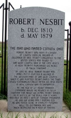
"The Man Who Named Convoy, Ohio"
Robert Nesbitt was born in Convoy of Donegal Ireland in December of 1810. Nesbitt emigrated to the United States and moved to Van Wert County in the late 1830's. In 1939, Nesbit(t) purchased 120 acres in Tully Township.
On June 16, 1854, Robert Nesbit and James Pettit platted a village in the western part of Van Wert County. When it was platted Nesbit named the town Convoy (Conmhaigh/Gaelic) after his Irish roots. In 1874, Convoy was incorporated.
At the age of 47, Nesbit married Catherine Byers. He resided in Tully Township for about 40 years. Nesbit served as a justice of the peace for 9 years and died on May 1, 1879 of typhoid pneumonia. He was 68 years and 7 months old. He was noted to be "a straight-forward well-to-do farmer and was much respected by a host of friends."
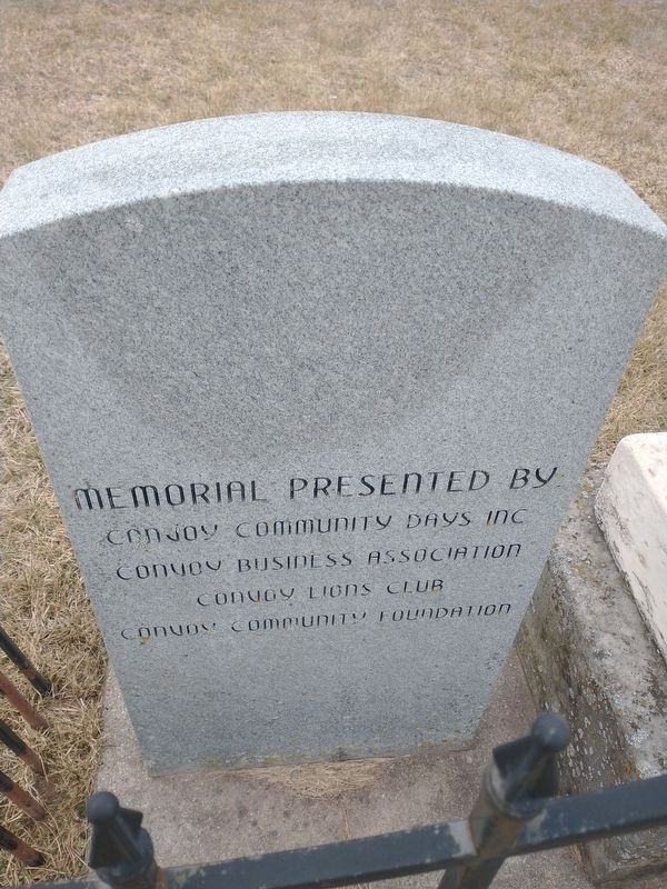
Erected by Convoy Community Days Inc., Convoy Business Association, Convoy Lions Club, and Convoy Community Foundation.
Topics. This historical marker is listed in this topic list: Settlements & Settlers. A significant historical month for this entry is May 1992.
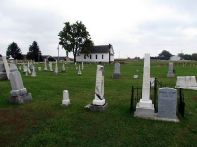
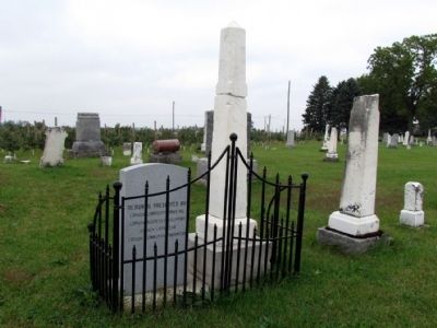
Location. 40° 56.3′ N, 84° 41.899′ W. Marker is near Convoy, Ohio, in Van Wert County. Marker can be reached from Pollock Road east of Lincoln Highway , on the right when traveling east. Marker is located in Sugar Ridge Cemetery. Touch for map. Marker is at or near this postal address: 6394 Pollock Road, Convoy OH 45832, United States of America. Touch for directions.
Other nearby markers. At least 8 other markers are within 7 miles of this marker, measured as the crow flies. Here Lies Robert Nesbitt / The Western Terminus of the Lincoln Highway in Ohio (within shouting distance of this marker); Veterans Memorial (approx. half a mile away); Convoy Opera House / City Hall / Firehouse (approx. 1.6 miles away); Pancake-Richey-Reidenbach Cemetery (approx. 5.8 miles away); Woodlawn Union Cemetery Veterans Memorial (approx. 6˝ miles away); Civil War Soldiers and Sailors Monument (approx. 6.6 miles away); Company D, 2nd Ohio Volunteer Infantry Monument (approx. 6.6 miles away); a different marker also named Veterans Memorial (approx. 6.8 miles away). Touch for a list and map of all markers in Convoy.
Credits. This page was last revised on February 6, 2022. It was originally submitted on October 5, 2013, by Duane Hall of Abilene, Texas. This page has been viewed 658 times since then and 26 times this year. Photos: 1. submitted on October 5, 2013, by Duane Hall of Abilene, Texas. 2. submitted on January 24, 2022, by Craig Doda of Napoleon, Ohio. 3, 4. submitted on October 5, 2013, by Duane Hall of Abilene, Texas.


