Round Rock in Williamson County, Texas — The American South (West South Central)
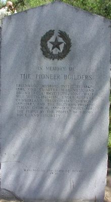
The Pioneer Builders
The Pioneer Builders
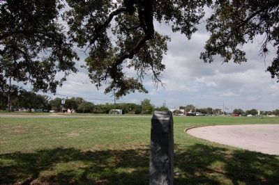
Greenwood Masonic Institute, 1867–1881, one quarter mile west and Round Rock Institute, one half mile south, 1881–1891, under auspices Cumberland Presbyterian Church, 1881–1887, and the Southern Presbyterian Church, 1887–1891, “Built for the People by the People” of Round Rock and vicinity.
Erected 1936 by the State of Texas. (Marker Number 9322.)
Topics and series. This historical marker is listed in these topic lists: Churches & Religion • Education • Fraternal or Sororal Organizations. In addition, it is included in the Texas 1936 Centennial Markers and Monuments series list. A significant historical year for this entry is 1881.
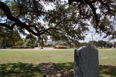
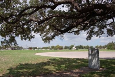
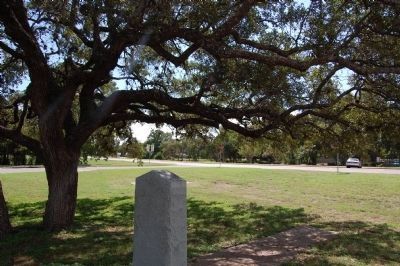
Location. 30° 30.995′ N, 97° 40.917′ W. Marker is in Round Rock, Texas, in Williamson County. Marker is on North Mays Street near East Palm Valley Boulevard (U.S. 79). SE corner of N Mays St and E Palm Valley Blvd. Touch for map. Marker is in this post office area: Round Rock TX 78664, United States of America. Touch for directions.
Other nearby markers. At least 8 other markers are within walking distance of this marker. William M. Owen House Complex (approx. half a mile away); The Round Rock (approx. half a mile away); Old Broom Factory Building (approx. 0.6 miles away); Sam Bass' Death Site (approx. 0.6 miles away); Otto Reinke Building (approx. 0.6 miles away); Early Commercial Building (approx. 0.6 miles away); Andrew J. Palm House (approx. 0.6 miles away); a different marker also named Round Rock (approx. 0.6 miles away). Touch for a list and map of all markers in Round Rock.
Credits. This page was last revised on January 9, 2020. It was originally submitted on December 21, 2007, by Keith Peterson of Cedar Park, Texas. This page has been viewed 1,101 times since then and 32 times this year. Last updated on October 5, 2013, by Keith Peterson of Cedar Park, Texas. Photos: 1. submitted on December 21, 2007, by Keith Peterson of Cedar Park, Texas. 2, 3, 4, 5. submitted on October 5, 2013, by Keith Peterson of Cedar Park, Texas. • Bernard Fisher was the editor who published this page.
