Near Adamstown in Frederick County, Maryland — The American Northeast (Mid-Atlantic)
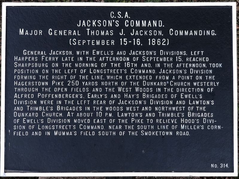
Jackson's Command
Jackson's Command
Maj. Gen. Thomas J. Jackson, Commanding.
(September 15-16, 1862.)
Gen. Jackson, with Ewell's and Jackson's Divisions, left Harpers Ferry late in the afternoon of September 15th, reached Sharpsburg on the morning of the 16th, and, in the afternoon, took position on the left of Longstreet's Command; Jackson's Division formed on the right of the line, which extended from a point on the Hagerstown Pike 250 yards north of the Dunkard Church westerly through the open fields and the West Woods in the direction of Alfred Poffenberger's. Early's and Hays' Brigades of Ewell's Division were in the left rear of Jackson's Division and Lawton's and Trimble's Brigades in the woods west and northwest of the Dunkard Church. At about 10:00 p.m., Lawton's and Trimble's Brigades of Ewell's Division moved east of the pike to relieve Hood's Division of Longstreet's Command, near the south line of Miller's Cornfield and in the Mumma's field south of the Smoketown Road.
Erected by Antietam Battlefield Board. (Marker Number 314.)
Topics and series. This historical marker is listed in this topic list: War, US Civil. In addition, it is included in the Antietam Campaign War Department Markers series list. A significant historical date for this entry is September 15, 1927.
Location. 39° 16.994′ N, 77° 26.693′ W. Marker is near Adamstown, Maryland, in Frederick County. Marker is at the intersection of Smoketown Road and Dunker Church Road, on the right when traveling west on Smoketown Road. Touch for map. Marker is in this post office area: Adamstown MD 21710, United States of America. Touch for directions.
Other nearby markers. At least 8 other markers are within 4 miles of this marker, measured as the crow flies. Carrollton Manor (approx. one mile away); George Washington (approx. 2.1 miles away); Carroll's Mill (approx. 2.6 miles away); 1862 Antietam Campaign (approx. 2.8 miles away); Gettysburg Campaign (approx. 2.8 miles away); Buckeystown Park (approx. 3.4 miles away); Site of Buckeystown Methodist Episcopal Church (approx. 3.4 miles away); Buckeystown (approx. 3˝ miles away). Touch for a list and map of all markers in Adamstown.
Also see . . . Antietam Battlefield. National Park Service site. (Submitted on April 5, 2008, by Craig Swain of Leesburg, Virginia.)

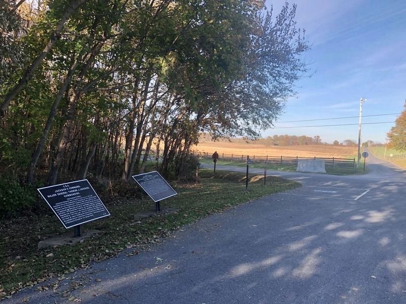
Photographed By Jordan Butler, November 9, 2021
2. Confederate Tablets near the Dunker Church
Two tablets for Jackson's Command stand to the north of the Dunker Church. Number 315 on left details actions on September 17. Number 314 on right details movements on September 15-16 leading up to the battle. On the far left (not pictured) a sign indicates the south edge of the West Woods.

Photographed By Craig Swain
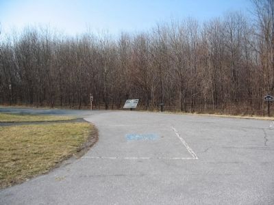
3. Confederate Tablets near the Dunker Church
Two tablets for Jackson's Command stand to the north of the Dunker Church. Number 315 (center, on the left) details actions on September 17. Number 314 (missing, down for maintenance, but the post is to the right of 315) details movements on September 15-16 leading up to the battle. On the far right a sign indicates the south edge of the West Woods.

Photographed By Craig Swain, March 29, 2008
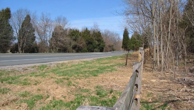
4. Jackson's Line
Looking north on the modern Hagerstown Pike bypass from the end of the Smoketown Road extension. Jackson's command, specifically Jackson's Division, initially formed a line facing north extending from the Hagerstown Pike (now Dunker Church Road) over to the Alfred Poffenberger House, which stood to the west of the bypass (left side of photo). The line ran through the West Woods.
Credits. This page was last revised on August 13, 2022. It was originally submitted on April 5, 2008, by Craig Swain of Leesburg, Virginia. This page has been viewed 1,071 times since then and 30 times this year. Last updated on November 10, 2021, by Jordan Butler of New Windsor, Maryland, USA. Photos: 1, 2. submitted on November 10, 2021, by Jordan Butler of New Windsor, Maryland, USA. 3. submitted on March 16, 2008, by Craig Swain of Leesburg, Virginia. 4. submitted on April 5, 2008, by Craig Swain of Leesburg, Virginia. • Mark Hilton was the editor who published this page.
