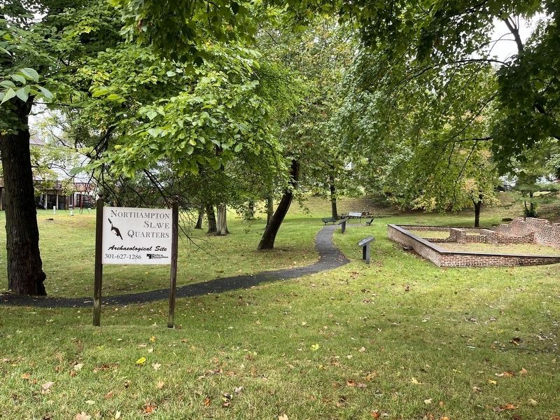
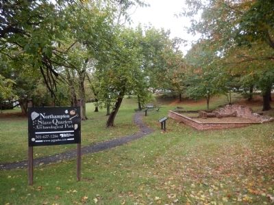
Lake Arbor in Prince George's County, Maryland — The American Northeast (Mid-Atlantic)
Seeking Freedom
Seeking Freedom
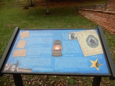
"Billy", who went by William Whitington, and "Clem", also known as Clem Hill, escaped together on June 21, 1815, as shown in the ad printed in the Washington, D.C. newspaper, Daily National Intelligencer on June 26, 1815
It appears that Clem was captured since another runaway ad appears two years later for the capture of "...Clem, and his wife Sophy...", who ran away in the middle of May 1817. One runaway ad for them appears on June 14, 1817 in the Daily National Intelligencer. The ad describes Sophy as pregnant and suggests that the couple may have fled in the direction of Annapolis, Maryland (approximately 25 miles east), where her enslave father lives. Ads for their capture ran for over a year with the reward amount changing from $100 to $500.
From Slavery to Tenant Farming
In 1865, Violetta Sprigg, wife of Samuel, sold Northampton to Dr. John Contee Fairfax (Lord Fairfax, Baron of Cameron). During this period tenant farming was replacing slavery and some freed slaves remained at Northampton as tenant farmers. The property continued as a working farm until the 1960s. The property remained in the Fairfax family until 1959 and was eventually purchased by a developer.
A Connection to the Past
Many descendants of Northampton slaves and tenant farmers still reside in Prince George's County. Today, there are six families that tie themselves to a common ancestor, Elizabeth Hawkins. Elizabeth, who lived at Northampton during the 1800s, appears in the 1870 U.S. Census as 25 years old and "Keeping House". She lived with her husband, 50 year old "Farm Hand" Robert Hawkins and their two children, 4 year old Henrietta and 2 year old Edward.
Descendants of Elizabeth Hawkins have played a major role in the restoration and interpretation of the slave quarters by assisting with the archaeology and providing oral histories. Susie Smith, daughter of Elizabeth, lived in the brick quarters in the 1920s and 1930s. Susie's grandchildren remember visiting her at Northampton and have shared their experiences and memories. These oral histories have helped archaeologists learn more about life at Northampton during the 1900s.
Network to Freedom
On September 10, 2008, the Northampton Slave Quarters and Archaeological Park was accepted into the National Park Service's, National Underground Railroad, Network to Freedom Program. This program was created in 1998 and focuses on enslaved African Americans who sought freedom. Any site, facility, and educational or interpretive program associated with enslaved African Americans seeking freedom through escape is eligible to apply. Acceptance into the program adds to the National Park

Photographed By Devry Becker Jones (CC0), October 2, 2022
2. Northampton Slave Quarters Archaeological Site
Erected by Parks & Recreation, M-NCPPC.
Topics and series. This historical marker is listed in these topic lists: Abolition & Underground RR • African Americans. In addition, it is included in the National Underground Railroad Network to Freedom series list. A significant historical year for this entry is 1815.
Location. 38° 54.198′ N, 76° 49.009′ W. Marker is in Lake Arbor, Maryland, in Prince George's County. Marker is on Water Port Court. Touch for map. Marker is at or near this postal address: 10915 Water Port Court, Bowie MD 20721, United States of America. Touch for directions.
Other nearby markers. At least 8 other markers are within 2 miles of this marker, measured as the crow flies. Northampton Slave Quarters and Archaeological Park (here, next to this marker); Archaeology at the Frame Quarters (a few steps from this marker); Archaeology at the Brick Quarters (a few steps from this marker); Weary Warriors (within shouting distance of this marker); “Mount Lubentia” (approx. 1.4 miles away); The Chesapeake Carousel (approx. 1.6 miles away); The History of Watkins Regional Park (approx. 1.8 miles away); Ridgley (approx. 2.1 miles away). Touch for a list and map of all markers in Lake Arbor.
Credits. This page was last revised on October 2, 2022. It was originally submitted on October 13, 2013, by Bill Pfingsten of Bel Air, Maryland. This page has been viewed 736 times since then and 13 times this year. Photos: 1. submitted on October 13, 2013, by Bill Pfingsten of Bel Air, Maryland. 2. submitted on October 2, 2022, by Devry Becker Jones of Washington, District of Columbia. 3. submitted on October 13, 2013, by Bill Pfingsten of Bel Air, Maryland.

